JavaScript is disabled for your browser. Some features of this site may not work without it.
Buscar en RiuNet
Listar
Mi cuenta
Estadísticas
Ayuda RiuNet
Admin. UPV
Implementation and evaluation of the Landsat Ecosystem Disturbance Adaptive Processing Systems (LEDAPS) model: a case study in the Colombian Andes
Mostrar el registro sencillo del ítem
Ficheros en el ítem
| dc.contributor.author | Valencia, G. M.
|
es_ES |
| dc.contributor.author | Anaya, J. A.
|
es_ES |
| dc.contributor.author | Caro-Lopera, F. J.
|
es_ES |
| dc.coverage.spatial | east=-75.3412179; north=7.1986064; name=Yarumal, Antioquia, Colòmbia | |
| dc.date.accessioned | 2017-05-03T08:52:01Z | |
| dc.date.available | 2017-05-03T08:52:01Z | |
| dc.date.issued | 2016-06-27 | |
| dc.identifier.issn | 1133-0953 | |
| dc.identifier.uri | http://hdl.handle.net/10251/80379 | |
| dc.description | Revista oficial de la Asociación Española de Teledetección | |
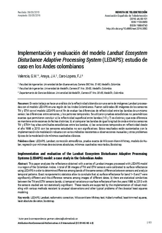
| dc.description.abstract | [EN] This paper analyzes the reflectance obtained with a series of Landsat images processed with LEDAPS model in a region of the Colombian Andes. A total of 38 images of TM and ETM sensors were calibrated to surface reflectance using LEDAPS in order to determine difference among bands of the same sensor, difference between sensors and analyze temporal patterns. Exact nonparametric statistics allow to conclude that: a) surface reflectance for band 1–5 and 7 were significantly different and this difference remains among images of different dates; b) there are statistical similarities between the TM and ETM sensors bands; c) temporal variations on surface reflectance from the years 1986 to 2013 with the sensors studied are not statistically significant. These results are supported by the implementation of robust modeling with various methods resistant to unusual observations and other typical problems of the classical least squares modeling. | es_ES |
| dc.description.abstract | [ES] En este trabajo se hace un análisis de la reflectividad obtenida con una serie de imágenes Landsat procesa-das con el modelo LEDAPS en una región de los Andes Colombianos. Fueron calibradas 38 imágenes de los sensores TM y ETM con el modelo LEDAPS con el fin de evaluar las diferencias de reflectividad entre las bandas de un mismo sensor, las diferencias entre sensores, y los patrones temporales. Se utilizaron pruebas estadísticas no paramétricas exactas que permitieron concluir: a) la reflectividad superficial entre bandas (1-5 y 7) es distinta y que esta diferencia se mantiene entre escenas de fechas distintas; b) al comparar las bandas de igual longitud de onda entre los sensores TM y ETM+ hay altas similitudes estadísticas entre las bandas; c) las variaciones temporales en reflectividad desde el año 1986 a 2013 con los sensores estudiados no son significativas. Estos resultados están sustentados con la implementación de modelación robusta con varios métodos resistentes a observaciones inusuales y otros problemas típicos de la modelación de mínimos cuadrados clásicos | es_ES |
| dc.language | Español | es_ES |
| dc.publisher | Universitat Politècnica de València | |
| dc.relation.ispartof | Revista de Teledetección | |
| dc.rights | Reconocimiento - No comercial - Sin obra derivada (by-nc-nd) | es_ES |
| dc.subject | LEDAPS | es_ES |
| dc.subject | Landsat | es_ES |
| dc.subject | Corrección atmosférica | es_ES |
| dc.subject | Prueba exacta de Wilcoxon-Mann-Whitney | es_ES |
| dc.subject | Modelo de Huber | es_ES |
| dc.subject | Regresión por mínimas desviaciones absolutas | es_ES |
| dc.subject | Mínimos cuadrados recortados | es_ES |
| dc.subject | Bootstrap | es_ES |
| dc.subject | Radiometric correction | es_ES |
| dc.subject | Wilcoxon-Mann-Whitney test | es_ES |
| dc.subject | Huber’s method | es_ES |
| dc.subject | Least trimmed squares | es_ES |
| dc.subject | Least absolute deviation | es_ES |
| dc.title | Implementation and evaluation of the Landsat Ecosystem Disturbance Adaptive Processing Systems (LEDAPS) model: a case study in the Colombian Andes | es_ES |
| dc.title.alternative | Implementación y evaluación del modelo LandsatEcosystem Disturbance Adaptive Processing System (LEDAPS): estudio de caso en los Andes colombianos | es_ES |
| dc.type | Artículo | es_ES |
| dc.date.updated | 2017-05-03T07:00:51Z | |
| dc.identifier.doi | 10.4995/raet.2016.3582 | |
| dc.rights.accessRights | Abierto | es_ES |
| dc.description.bibliographicCitation | Valencia, GM.; Anaya, JA.; Caro-Lopera, FJ. (2016). Implementation and evaluation of the Landsat Ecosystem Disturbance Adaptive Processing Systems (LEDAPS) model: a case study in the Colombian Andes. Revista de Teledetección. (46):83-101. https://doi.org/10.4995/raet.2016.3582 | es_ES |
| dc.description.accrualMethod | SWORD | es_ES |
| dc.relation.publisherversion | https://doi.org/10.4995/raet.2016.3582 | es_ES |
| dc.description.upvformatpinicio | 83 | es_ES |
| dc.description.upvformatpfin | 101 | es_ES |
| dc.type.version | info:eu-repo/semantics/publishedVersion | es_ES |
| dc.description.issue | 46 | |
| dc.identifier.eissn | 1988-8740 |


