JavaScript is disabled for your browser. Some features of this site may not work without it.
Buscar en RiuNet
Listar
Mi cuenta
Estadísticas
Ayuda RiuNet
Admin. UPV
Desde el lunes 3 y hasta el jueves 20 de marzo, RiuNet funcionará en modo de solo lectura a causa de su actualización a una nueva versión.
Combined use of LIDAR and hyperspectral measurements for remote sensing of fluorescence and vertical profile of canopies
Mostrar el registro sencillo del ítem
Ficheros en el ítem
| dc.contributor.author | Ounis, A.
|
es_ES |
| dc.contributor.author | Bach, J.
|
es_ES |
| dc.contributor.author | Mahjoub, A.
|
es_ES |
| dc.contributor.author | Daumard, F.
|
es_ES |
| dc.contributor.author | Moya, I.
|
es_ES |
| dc.contributor.author | Goulas, Y.
|
es_ES |
| dc.date.accessioned | 2017-05-03T11:10:11Z | |
| dc.date.available | 2017-05-03T11:10:11Z | |
| dc.date.issued | 2016-02-26 | |
| dc.identifier.issn | 1133-0953 | |
| dc.identifier.uri | http://hdl.handle.net/10251/80405 | |
| dc.description | Revista oficial de la Asociación Española de Teledetección | |
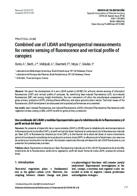
| dc.description.abstract | [EN] We report the development of a new LIDAR system (LASVEG) for airborne remote sensing of chlorophyll fluorescence (ChlF) and vertical profile of canopies. By combining laser-induced fluorescence (LIF), sun-induced fluorescence (SIF) and canopy height distribution, the new instrument will allow the simultaneous assessment of gross primary production (GPP), photosynthesis efficiency and above ground carbon stocks. Technical issues of the fluorescence LIDAR development are discussed and expected performances are presented. | es_ES |
| dc.description.abstract | [ES] Se presenta el desarrollo de un nuevo sistema LIDAR (LASVEG) para la teledetección aerotransportada de la fluorescencia de la clorofila (ChlF) y el perfil vertical del dosel. Mediante la combinación de la fluorescencia inducida por láser (LIF), la fluorescencia inducida por el sol (SIF) y la distribución de la altura del dosel, el nuevo instrumento permitirá la evaluación simultánea de la producción primaria bruta (GPP), la eficiencia de la fotosíntesis y las reservas de carbono por encima del nivel del suelo. Se discuten cuestiones técnicas del desarrollo del LIDAR fluorescencia y se presentan las prestaciones previstas | es_ES |
| dc.description.sponsorship | This instrument is developed in the framework of the CALSIF project with the support of the French national agency ANR and the French space agency CNES. | |
| dc.language | Inglés | es_ES |
| dc.publisher | Universitat Politècnica de València | |
| dc.relation.ispartof | Revista de Teledetección | |
| dc.rights | Reconocimiento - No comercial - Sin obra derivada (by-nc-nd) | es_ES |
| dc.subject | Laser-induced fluorescence | es_ES |
| dc.subject | Sun-induced fluorescence | es_ES |
| dc.subject | LiDAR | es_ES |
| dc.subject | Chlorophyll fluorescence | es_ES |
| dc.subject | Fluorescence yield | es_ES |
| dc.subject | Vegetation stress | es_ES |
| dc.subject | Canopy profile | es_ES |
| dc.subject | Lidar waveform | es_ES |
| dc.subject | Gross primary production | es_ES |
| dc.subject | Fluorescencia inducida por láser | es_ES |
| dc.subject | Fluorescencia inducida por el Sol | es_ES |
| dc.subject | Fluorescencia de la clorofila | es_ES |
| dc.subject | Rendimiento de la fluorescencia | es_ES |
| dc.subject | Estrés de la vegetación | es_ES |
| dc.subject | Perfil del dosel | es_ES |
| dc.subject | forma de onda LIDAR | es_ES |
| dc.subject | Producción primaria bruta | es_ES |
| dc.title | Combined use of LIDAR and hyperspectral measurements for remote sensing of fluorescence and vertical profile of canopies | es_ES |
| dc.title.alternative | Uso combinado del LIDAR y medidas hiperspectrales para la teledetección de la fluorescencia y el perfil vertical del dosel | es_ES |
| dc.type | Artículo | es_ES |
| dc.date.updated | 2017-05-03T09:30:09Z | |
| dc.identifier.doi | 10.4995/raet.2015.3982 | |
| dc.rights.accessRights | Abierto | es_ES |
| dc.description.bibliographicCitation | Ounis, A.; Bach, J.; Mahjoub, A.; Daumard, F.; Moya, I.; Goulas, Y. (2016). Combined use of LIDAR and hyperspectral measurements for remote sensing of fluorescence and vertical profile of canopies. Revista de Teledetección. (Special Issue):87-94. https://doi.org/10.4995/raet.2015.3982 | es_ES |
| dc.description.accrualMethod | SWORD | es_ES |
| dc.relation.publisherversion | https://doi.org/10.4995/raet.2015.3982 | es_ES |
| dc.description.upvformatpinicio | 87 | es_ES |
| dc.description.upvformatpfin | 94 | es_ES |
| dc.type.version | info:eu-repo/semantics/publishedVersion | es_ES |
| dc.description.issue | Special Issue | |
| dc.identifier.eissn | 1988-8740 | |
| dc.contributor.funder | Agence Nationale de la Recherche, Francia | |
| dc.contributor.funder | Centre National d'Études Spatiales, Francia |


