JavaScript is disabled for your browser. Some features of this site may not work without it.
Buscar en RiuNet
Listar
Mi cuenta
Estadísticas
Ayuda RiuNet
Admin. UPV
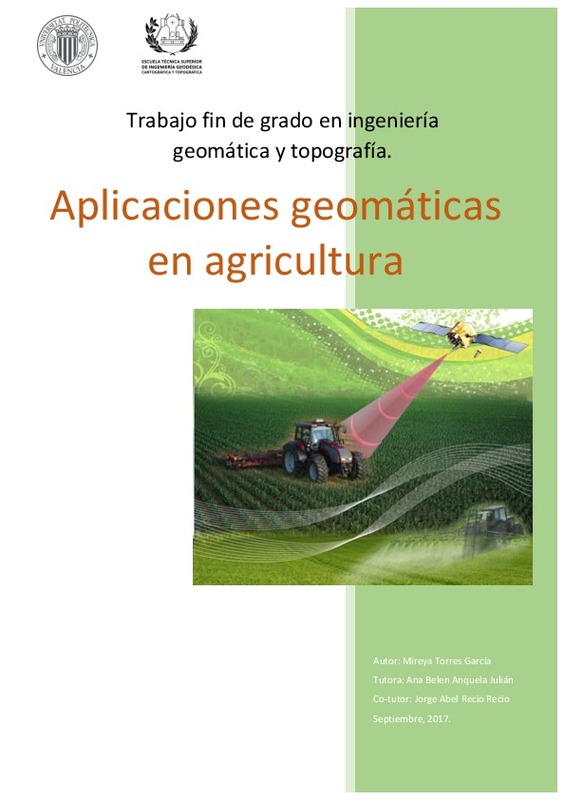
Aplicaciones geomáticas en agricultura
Mostrar el registro sencillo del ítem
Ficheros en el ítem
| dc.contributor.advisor | Anquela Julián, Ana Belén
|
es_ES |
| dc.contributor.author | Torres García, Mireya
|
es_ES |
| dc.date.accessioned | 2017-10-02T07:04:53Z | |
| dc.date.available | 2017-10-02T07:04:53Z | |
| dc.date.created | 2017-09-13 | |
| dc.date.issued | 2017-10-02 | es_ES |
| dc.identifier.uri | http://hdl.handle.net/10251/88361 | |
| dc.description.abstract | [ES] En las últimas décadas, la agricultura ha evolucionado a tal punto en el que, con la ayuda de nuevas tecnologías, aumenta el volumen de la producción bajando costos, además de mantener la sostenibilidad del medio ambiente. Ésta recibe el nombre de agricultura de precisión. A lo largo de éste trabajo, se van a desarrollar las herramientas y tecnologías existentes en la agricultura de precisión, como los sistemas de posicionamiento global (GPS), sistemas de información geográfica (SIG) y teledetección. También, se expondrá un caso práctico del cultivo del arroz con las tecnologías utilizadas en cada una de sus etapas, se realizará un pequeño estudio entre los diferentes tipos de arroz cultivados en las parcelas de estudio y la evolución de crecimiento del cultivo. | es_ES |
| dc.description.abstract | [EN] In the last decades, agriculture has evolved to such an extent that, with the help of new technologies, the volume of production increases lowering costs, as well as maintaining the sustainability of the environment. This is called precision agriculture. Throughout this work, is going to develop the tools and technologies in precision agriculture, such as global positioning systems (GPS), geographic information systems (GIS) and remote sensing. Althought, will be presented a case study of rice cultivation with the technologies used in each of its stages, a small study will be permormed between the different types of rice in the study plots and the evolution of the upgrowth of the crop. | es_ES |
| dc.format.extent | 87 | es_ES |
| dc.language | Español | es_ES |
| dc.publisher | Universitat Politècnica de València | es_ES |
| dc.rights | Reserva de todos los derechos | es_ES |
| dc.subject | Arroz | es_ES |
| dc.subject | Agricultura de precisión | es_ES |
| dc.subject | Teledetección | es_ES |
| dc.subject | Geomática | es_ES |
| dc.subject | Agricultura | es_ES |
| dc.subject | GNSS | es_ES |
| dc.subject | Topografía | es_ES |
| dc.subject | Sector agrario | |
| dc.subject | SIG | |
| dc.subject | GPS | |
| dc.subject.classification | INGENIERIA CARTOGRAFICA, GEODESIA Y FOTOGRAMETRIA | es_ES |
| dc.subject.other | Grado en Ingeniería en Geomática y Topografía-Grau en Enginyeria Geomàtica i Topografia | es_ES |
| dc.title | Aplicaciones geomáticas en agricultura | es_ES |
| dc.type | Proyecto/Trabajo fin de carrera/grado | es_ES |
| dc.rights.accessRights | Abierto | es_ES |
| dc.contributor.affiliation | Universitat Politècnica de València. Escuela Técnica Superior de Ingeniería Geodésica, Cartográfica y Topográfica - Escola Tècnica Superior d'Enginyeria Geodèsica, Cartogràfica i Topogràfica | es_ES |
| dc.contributor.affiliation | Universitat Politècnica de València. Departamento de Ingeniería Cartográfica Geodesia y Fotogrametría - Departament d'Enginyeria Cartogràfica, Geodèsia i Fotogrametria | es_ES |
| dc.description.bibliographicCitation | Torres García, M. (2017). Aplicaciones geomáticas en agricultura. Universitat Politècnica de València. http://hdl.handle.net/10251/88361 | es_ES |
| dc.description.accrualMethod | TFGM | es_ES |
| dc.relation.pasarela | TFGM\37123 | es_ES |
Este ítem aparece en la(s) siguiente(s) colección(ones)
-
ETSIGCT - Trabajos académicos [494]
Escuela Técnica Superior de Ingeniería Geodésica, Cartográfica y Topográfica


