JavaScript is disabled for your browser. Some features of this site may not work without it.
Buscar en RiuNet
Listar
Mi cuenta
Estadísticas
Ayuda RiuNet
Admin. UPV
Geometric characterization and interactive 3D visualization of historical and cultural heritage in the province of Cáceres (Spain)
Mostrar el registro sencillo del ítem
Ficheros en el ítem
| dc.contributor.author | Naranjo, José Manuel
|
es_ES |
| dc.contributor.author | Parrilla, Ángeles
|
es_ES |
| dc.contributor.author | de Sanjosé, José Juan
|
es_ES |
| dc.date.accessioned | 2018-01-11T07:35:04Z | |
| dc.date.available | 2018-01-11T07:35:04Z | |
| dc.date.issued | 2018-01-10 | |
| dc.identifier.uri | http://hdl.handle.net/10251/94422 | |
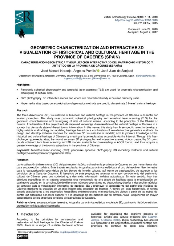
| dc.description.abstract | [EN] The three-dimensional (3D) visualization of historical and cultural heritage in the province of Cáceres is essential for tourism promotion. This study uses panoramic spherical photography and terrestrial laser scanning (TLS) for the geometric characterization and cataloguing of sites of cultural interest, according to the principles of the Charter of Krakow. The benefits of this project include improved knowledge dissemination of the cultural heritage of Cáceres in a society that demands state-of-the-art tourist information. In this sense, this study has three specific aims: to develop a highly reliable methodology for modeling heritage based on a combination of non-destructive geomatics methods; to design and develop software modules for interactive 3D visualization of models; and to promote knowledge of the historical and cultural heritage of Cáceres by creating a hypermedia atlas accessible via the Internet. Through this free-of-charge hypermedia atlas, the tourist accesses 3D photographic and interactive scenes, videos created by 3D point clouds obtained from laser scanning and 3D models available for downloading in ASCII format, and thus acquire a greater knowledge of the touristic attractions in the province of Cáceres. | es_ES |
| dc.description.abstract | [ES] La visualización tridimensional (3D) del patrimonio histórico-cultural en la provincia de Cáceres es una herramienta vital para su promoción turística. Este trabajo emplea la fotografía panorámica esférica y el uso del escáner láser terrestre para la caracterización geométrica de los bienes de interés cultural, así como su catalogación, de acuerdo a los principios de la Carta de Cracovia. El beneficio de este proyecto es alcanzar un mayor conocimiento del patrimonio cultural de Cáceres para una sociedad que demanda información turística actualizada. En este sentido, hay tres objetivos específicos en el trabajo: desarrollar una metodología de alto grado de fiabilidad para la modelización del patrimonio basado en la combinación de diferentes métodos geomáticos no destructivos; diseñar y desarrollar módulos de software para la visualización interactiva de modelos 3D; y promover el conocimiento del patrimonio histórico de Cáceres mediante la creación de un atlas hipermedia accesible en Internet. A través del atlas hipermedia, el turista accede gratuitamente a los escenarios fotográficos tridimensionales e interactivos, los videos a partir de las nubes de puntos 3D adquiridas con láser escáner y a la descarga de los modelos 3D en formato ASCII, adquiriendo un mayor conocimiento de los atractivos turísticos de la provincia de Cáceres. | es_ES |
| dc.description.sponsorship | The article has been possible thanks to the funding granted by the Junta de Extremadura and the Fondo Europeo de Desarrollo Regional (FEDER), through the reference aid GR15069 for the research groups NEXUS and DESOSTE. In addition, the present work was developed under the 2013 Plan of Initiation to Research of the University of Extremadura within the Program Orientated at Projects of Initiation to Research called Action VII, financed by the Provincial Government in Cáceres. We also thank the Regional Government of Extremadura for providing aerial images. The authors would like to thank Alan D.J. Atkinson Gordo, José Antonio Gutiérrez Gallego, Juan Antonio Pérez Alvárez, Mercedes Jiménez Muñoz, Manuel Sánchez Fernández and David Díaz Paredes for the guidance received. Likewise, thanks are also extended to Mr. Fergus Crystal and Mr. Giles Petty for help with revising the English version of this text. | es_ES |
| dc.language | Inglés | es_ES |
| dc.publisher | Universitat Politècnica de València | |
| dc.relation.ispartof | Virtual Archaeology Review | |
| dc.rights | Reconocimiento - No comercial - Sin obra derivada (by-nc-nd) | es_ES |
| dc.subject | Escaneado láser terrestre | es_ES |
| dc.subject | Fotografía panorámica esférica | es_ES |
| dc.subject | Modelado 3D | es_ES |
| dc.subject | Patrimonio histórico-artístico | es_ES |
| dc.subject | Promoción turística | es_ES |
| dc.subject | Atlas hipermedia | es_ES |
| dc.subject | Terrestrial laser scanning (TLS) | es_ES |
| dc.subject | Panoramic spherical photography | es_ES |
| dc.subject | 3D modelling | es_ES |
| dc.subject | Historical and cultural heritage | es_ES |
| dc.subject | Touristic promotion | es_ES |
| dc.subject | Hypermedia atlas | es_ES |
| dc.title | Geometric characterization and interactive 3D visualization of historical and cultural heritage in the province of Cáceres (Spain) | es_ES |
| dc.title.alternative | Caracterización geométrica y visualización interactiva 3d del patrimonio histórico y artístico en la provincia de Cáceres (España) | es_ES |
| dc.type | Artículo | es_ES |
| dc.date.updated | 2018-01-10T13:35:25Z | |
| dc.identifier.doi | 10.4995/var.2018.6010 | |
| dc.relation.projectID | info:eu-repo/grantAgreement/Junta de Extremadura//GR15069/ | es_ES |
| dc.rights.accessRights | Abierto | es_ES |
| dc.description.bibliographicCitation | Naranjo, JM.; Parrilla, Á.; De Sanjosé, JJ. (2018). Geometric characterization and interactive 3D visualization of historical and cultural heritage in the province of Cáceres (Spain). Virtual Archaeology Review. 9(18):1-11. https://doi.org/10.4995/var.2018.6010 | es_ES |
| dc.description.accrualMethod | SWORD | es_ES |
| dc.relation.publisherversion | https://doi.org/10.4995/var.2018.6010 | es_ES |
| dc.description.upvformatpinicio | 1 | es_ES |
| dc.description.upvformatpfin | 11 | es_ES |
| dc.type.version | info:eu-repo/semantics/publishedVersion | es_ES |
| dc.description.volume | 9 | |
| dc.description.issue | 18 | |
| dc.identifier.eissn | 1989-9947 | |
| dc.contributor.funder | Junta de Extremadura | es_ES |
| dc.contributor.funder | European Regional Development Fund | es_ES |


