


Listar por autor "Anquela Julián, Ana Belén"
RiuNet: Repositorio Institucional de la Universidad Politécnica de Valencia
- RiuNet repositorio UPV
- :
- Listar por autor
JavaScript is disabled for your browser. Some features of this site may not work without it.
Buscar en RiuNet
Listar
Mi cuenta
Ayuda RiuNet
Admin. UPV
Listar por autor "Anquela Julián, Ana Belén"
Mostrando ítems 1-20 de 39
-
 Martín Furones, Ángel Esteban; Nuñez Andrés, M.A.; Gili, J.A.; Anquela Julián, Ana Belén (Elsevier, 2011-10)Doñana National Park is a protected area of approximately 500 km2 located on the SW coast of Spain with singular and interesting ecological and geological features. A gravimetric survey is presented where L&R gravity ...
 -
 Anquela Julián, Ana Belén; Balaguer-Puig, Matilde; Gallego Salguero, Aurea Cecilia; Hernández-Zetina, Sandra; Chiva, Juan Vicente (SGEM WORLD SCIENCE (SWS) Scholarly Society, 2023-11-30)[EN] Gender-based violence is a threat to women's safety worldwide. The perception of public spaces as a real or perceived threat to women ("fear of space") is an important factor in considering urban safety and can play ...
 -
 Martín Furones, Ángel Esteban; Anquela Julián, Ana Belén; Cos-Gayón López, Fernando José (Elsevier, 2019-03)[EN] This paper presents the big data architecture and work flow used to download georeferenced tweets, store them in a NoSQL database, analyse them using the Apache Spark framework, and visualize the results. The study ...
 -
Cos-Gayón López, Fernando José; Lluesma, C.A.; Cordón Llácer, Joan; Anquela Julián, Ana Belén; Martín Furones, Ángel Esteban; Giner-García, María-Isabel (Perm National Research Polytechnic University, 2019-08-08)[EN] The basis of this project is to implement the use of laser scanner to analyze structural deformation in construction and its subsequent modeling to complete the 3D model of a building. The advantages of a measurement ...
-
 Torres García, Mireya (Universitat Politècnica de València, 2017-10-02)[ES] En las últimas décadas, la agricultura ha evolucionado a tal punto en el que, con la ayuda de nuevas tecnologías, aumenta el volumen de la producción bajando costos, además de mantener la sostenibilidad del medi ...
 -
 Anquela Julián, Ana Belén (Universitat Politècnica de València, 2015-12-21)Al diseñar, observar y calcular una Red Local de Alta precisión, cualquiera que sea su objetivo, se plantea siempre el problema de la fiabilidad de los datos, parámetros intermedios y resultados finales. La tendencia en ...
 -
 Padin Devesa, Jorge; Martín Furones, Ángel Esteban; Anquela Julián, Ana Belén (Elsevier, 2012-02)The microgravimetric surveying technique is applicable to the detection of shallow subsurface structures if a lateral density contrast is presented, and thus, it is a valid technique for archaeological prospection. In this ...
 -
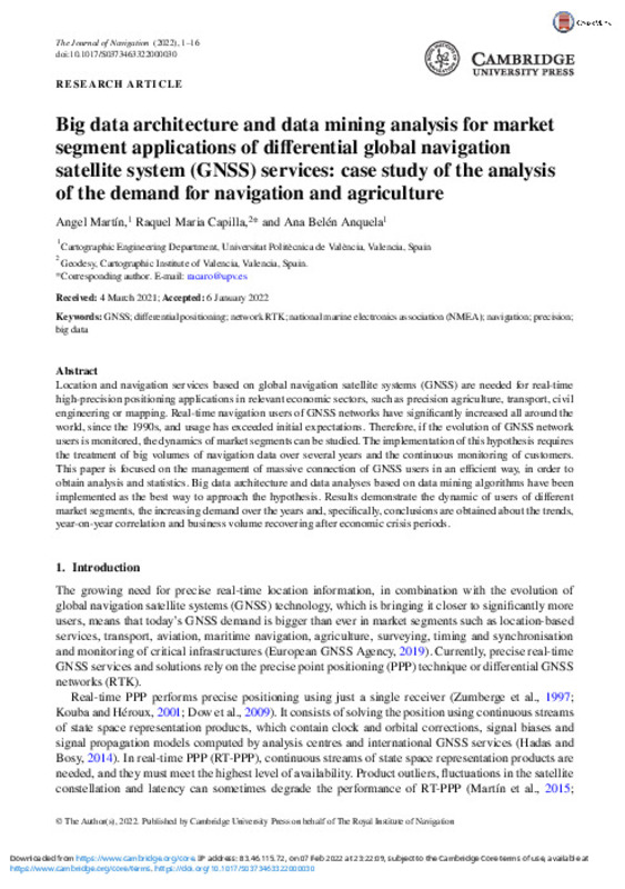 Martín Furones, Ángel Esteban; Capilla, Raquel Maria; Anquela Julián, Ana Belén (Cambridge University Press, 2022-03)[EN] Location and navigation services based on global navigation satellite systems (GNSS) are needed for real-time high-precision positioning applications in relevant economic sectors, such as precision agriculture, ...
 -
 Zabala Haro, Monica; Martín Furones, Ángel Esteban; Anquela Julián, Ana Belén; Jiménez-Martínez, Mª Jesús (MDPI AG, 2024-04)
 -
 Martín Furones, Ángel Esteban; Anquela Julián, Ana Belén; Dimas-Pagés, Alejandro; Cos-Gayón López, Fernando José (Elsevier, 2017)[EN] Precise point positioning (PPP) is a well established Global Navigation Satellite System (GNSS) technique that only requires information from the receiver (or rover) to obtain high-precision position coordinates. This ...
 -
Baselga Moreno, Sergio; Garrigues Talens, Pascual; Berné Valero, José Luis; Anquela Julián, Ana Belén; Martín Furones, Ángel Esteban (Taylor & Francis: STM, Behavioural Science and Public Health Titles, 2011-10)Deformation monitoring in heritage buildings is an essential task for conservation and restoration studies. A vast variety of techniques can be applied assuming that a three-dimensional modelization is required: GPS (Global ...
-
 Hernández Olcina, Jorge (Universitat Politècnica de València, 2017-09-04)[ES] La tecnología GNSS (Sistema Global de Navegación por Satélite) es aquella que comprende el conjunto de sistemas de posicionamiento por satélite que permiten obtener posicionamiento espacial de forma autónoma, con ...
 -
 Quesada Olmo, María Nieves (Universitat Politècnica de València, 2019-12-01)[EN] The goal of this research is to analise and to develop a system that allows the determination of the most general movement dynamics of a tall building, as well as to quantify its evolution over time by means of Gaussian ...
 -
 Castillejo del Pozo, Raquel (Universitat Politècnica de València, 2022-12-30)[ES] La violencia de género extraoficial es aquella que se produce cuando no existe ningún tipo de vinculación previa entre el agresor y la víctima. Son muchas las variables que intervienen en la determinación de espacios ...
 -
 Ruano Folch, Daniel Jonatan (Universitat Politècnica de València, 2021-10-07)[ES] Este proyecto nace con la intención de mejorar y llevar un paso más allá mi anterior TFG, mediante los nuevos conocimientos adquiridos en el Máster. Partiendo de cartografía 2D de la ETSIGCT y mediciones relativas ...
 -
 Coll-Aliaga, Eloína; Anquela Julián, Ana Belén; Porres De La Haza, Maria Joaquina; Félix García, Eloína (Universidad de La Laguna - AIDU, 2021-01-29)[EN] For more than two decades, the Universitat Politècnica de València (UPV) has been working on the University Tutorial Action Plan (PATU), focused on actions aimed at new students at the UPV. The tutorial action is a ...
 -
Sánchez Andreu, Vicente (Universitat Politècnica de València, 2022-10-24)[ES] Las técnicas de interferometría SAR (InSAR) son capaces de proporcionar cambios de posición de los puntos sobre la superficie terrestre haciendo uso de imágenes radar adquiridas en épocas distintas sobre las zonas de ...
-
 López Pérez, José María (Universitat Politècnica de València, 2020-09-30)[ES] El castillo romano de Sagunto es una fortaleza ocupa un recinto amurallado que se extiende por el cerro de este a oeste, con una extensión de casi un Kilómetro, a 172 metros sobre el nivel del mar. Su historia se ...
 -
 Martínez Montes, Carlos (Universitat Politècnica de València, 2022-09-29)[ES] Este proyecto trabaja la meta 13.1 del ODS13, acción por el clima. Generando una herramienta que permitirá “fortalecer la resiliencia y la capacidad de adaptación a los riesgos relacionados con el clima y los desastres ...
 -
 Ros Valiente, Luis (Universitat Politècnica de València, 2016-03-01)[EN] In this thesis it is introduced a method to filter GNSS height time series from vertical displacements derived from load variations in the Earth's surface, obtained from the monthly geopotential coefficients from the ...
Mostrando ítems 1-20 de 39

Universitat Politècnica de València. Unidad de Documentación Científica de la Biblioteca (+34) 96 387 70 85 · RiuNet@bib.upv.es
El contenido de este sitio está bajo una licencia Creative Commons Reconocimiento – No Comercial – Sin Obra Derivada (by-nc-nd), salvo que se indique lo contrario.
Los metadatos de este sitio están bajo una licencia Dominio Público.
