JavaScript is disabled for your browser. Some features of this site may not work without it.
Buscar en RiuNet
Listar
Mi cuenta
Estadísticas
Ayuda RiuNet
Admin. UPV
Diseño de estrategias de crowdsourcing en sistemas de información geográfica voluntaria
Mostrar el registro sencillo del ítem
Ficheros en el ítem
| dc.contributor.author | Gómez Barrón Sierra, José Pablo
|
es_ES |
| dc.contributor.author | Manso-Callejo, Miguel-Ángel
|
es_ES |
| dc.contributor.author | Alcarria, Ramón
|
es_ES |
| dc.date.accessioned | 2018-04-19T09:20:52Z | |
| dc.date.available | 2018-04-19T09:20:52Z | |
| dc.date.issued | 2017-10-23 | |
| dc.identifier.isbn | 9788490486696 | |
| dc.identifier.uri | http://hdl.handle.net/10251/100639 | |
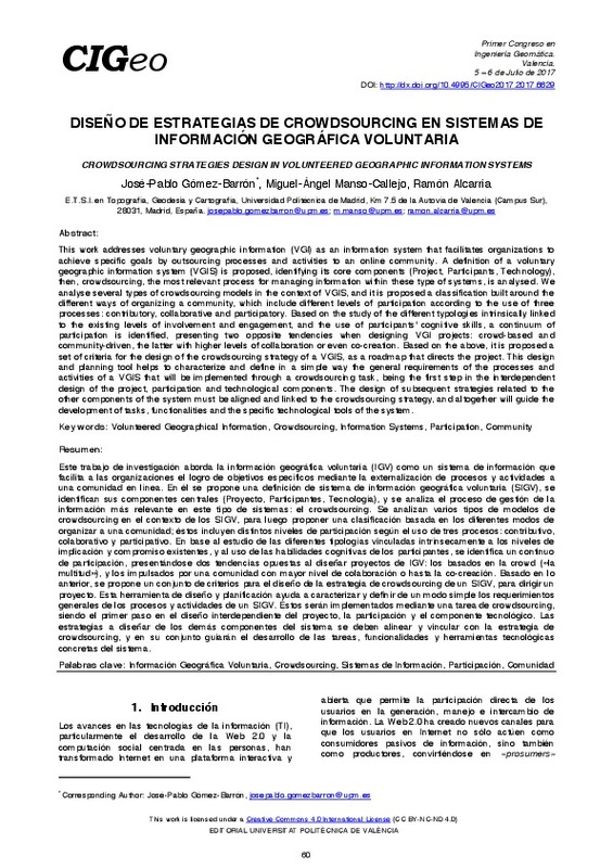
| dc.description.abstract | [EN] This work addresses voluntary geographic information (VGI) as an information system that facilitates organizations to achieve specific goals by outsourcing processes and activities to an online community. A definition of a voluntary geographic information system (VGIS) is proposed, identifying its core components (Project, Participants, Technology), then, crowdsourcing, the most relevant process for managing information within these type of systems, is analysed. We analyse several types of crowdsourcing models in the context of VGIS, and it is proposed a classification built around the different ways of organizing a community, which include different levels of participation according to the use of three processes: contributory, collaborative and participatory. Based on the study of the different typologies intrinsically linked to the existing levels of involvement and engagement, and the use of participants' cognitive skills, a continuum of participation is identified, presenting two opposite tendencies when designing VGI projects: crowd-based and community-driven, the latter with higher levels of collaboration or even co-creation. Based on the above, it is proposed a set of criteria for the design of the crowdsourcing strategy of a VGIS, as a roadmap that directs the project. This design and planning tool helps to characterize and define in a simple way the general requirements of the processes and activities of a VGIS that will be implemented through a crowdsourcing task, being the first step in the interdependent design of the project, participation and technological components. The design of subsequent strategies related to the other components of the system must be aligned and linked to the crowdsourcing strategy, and altogether will guide the development of tasks, functionalities and the specific technological tools of the system. | es_ES |
| dc.description.abstract | [ES] Este trabajo de investigación aborda la información geográfica voluntaria (IGV) como un sistema de información que facilita a las organizaciones el logro de objetivos específicos mediante la externalización de procesos y actividades a una comunidad en línea. En él se propone una definición de sistema de información geográfica voluntaria (SIGV), se identifican sus componentes centrales (Proyecto, Participantes, Tecnología), y se analiza el proceso de gestión de la información más relevante en este tipo de sistemas: el crowdsourcing. Se analizan varios tipos de modelos de crowdsourcing en el contexto de los SIGV, para luego proponer una clasificación basada en los diferentes modos de organizar a una comunidad; éstos incluyen distintos niveles de participación según el uso de tres procesos: contributivo, colaborativo y participativo. En base al estudio de las diferentes tipologías vinculadas intrínsecamente a los niveles de implicación y compromiso existentes, y al uso de las habilidades cognitivas de los participantes, se identifica un continuo de participación, presentándose dos tendencias opuestas al diseñar proyectos de IGV: los basados en la crowd («la multitud»), y los impulsados por una comunidad con mayor nivel de colaboración o hasta la co-creación. Basado en lo anterior, se propone un conjunto de criterios para el diseño de la estrategia de crowdsourcing de un SIGV, para dirigir un proyecto. Esta herramienta de diseño y planificación ayuda a caracterizar y definir de un modo simple los requerimientos generales de los procesos y actividades de un SIGV. Éstos serán implementados mediante una tarea de crowdsourcing, siendo el primer paso en el diseño interdependiente del proyecto, la participación y el componente tecnológico. Las estrategias a diseñar de los demás componentes del sistema se deben alinear y vincular con la estrategia de crowdsourcing, y en su conjunto guiarán el desarrollo de las tareas, funcionalidades y herramientas tecnológicas concretas del sistema. | es_ES |
| dc.format.extent | 9 | es_ES |
| dc.language | Español | es_ES |
| dc.publisher | Editorial Universitat Politècnica de València | es_ES |
| dc.relation.ispartof | Primer Congreso en Ingeniería Geomática. Libro de actas | es_ES |
| dc.rights | Reconocimiento - No comercial - Sin obra derivada (by-nc-nd) | es_ES |
| dc.subject | Información Geográfica Voluntaria | es_ES |
| dc.subject | Crowdsourcing | es_ES |
| dc.subject | Sistemas de Información | es_ES |
| dc.subject | Participación | es_ES |
| dc.subject | Comunidad | es_ES |
| dc.subject | Volunteered Geographical Information | es_ES |
| dc.subject | Information Systems | es_ES |
| dc.subject | Participation | es_ES |
| dc.subject | Community | es_ES |
| dc.title | Diseño de estrategias de crowdsourcing en sistemas de información geográfica voluntaria | es_ES |
| dc.title.alternative | Crowdsourcing strategies design in volunteered geographic information systems | es_ES |
| dc.type | Capítulo de libro | es_ES |
| dc.type | Comunicación en congreso | es_ES |
| dc.identifier.doi | 10.4995/CIGeo2017.2017.6629 | |
| dc.rights.accessRights | Abierto | es_ES |
| dc.description.bibliographicCitation | Gómez Barrón Sierra, JP.; Manso-Callejo, M.; Alcarria, R. (2017). Diseño de estrategias de crowdsourcing en sistemas de información geográfica voluntaria. En Primer Congreso en Ingeniería Geomática. Libro de actas. Editorial Universitat Politècnica de València. 60-68. https://doi.org/10.4995/CIGeo2017.2017.6629 | es_ES |
| dc.description.accrualMethod | OCS | es_ES |
| dc.relation.conferencename | 1st Congress in Geomatics Engineering | es_ES |
| dc.relation.conferencedate | July 05-06,2017 | es_ES |
| dc.relation.conferenceplace | Valencia, Spain | es_ES |
| dc.relation.publisherversion | http://ocs.editorial.upv.es/index.php/CIGeo/CIGeo2017/paper/view/6629 | es_ES |
| dc.description.upvformatpinicio | 60 | es_ES |
| dc.description.upvformatpfin | 68 | es_ES |
| dc.type.version | info:eu-repo/semantics/publishedVersion | es_ES |
| dc.relation.pasarela | OCS\6629 | es_ES |


