|
Resumen:
|
[ES] El presente trabajo pretende evaluar los distintos espacios ajardinados o susceptibles de serlo del municipio valenciano de Chiva, en la comarca de la Hoya de Buñol Chiva, y proponer una serie de medidas para adaptarlos ...[+]
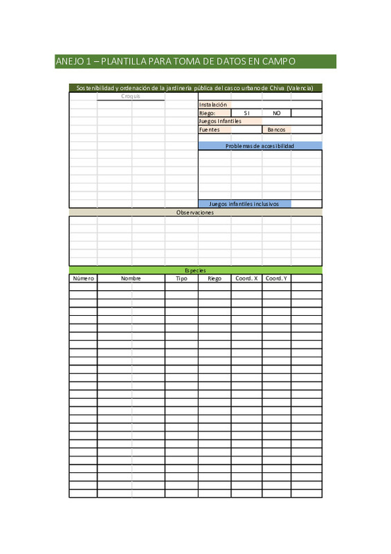
[ES] El presente trabajo pretende evaluar los distintos espacios ajardinados o susceptibles de serlo del municipio valenciano de Chiva, en la comarca de la Hoya de Buñol Chiva, y proponer una serie de medidas para adaptarlos al escenario de cambio climático. Para ello se visitarán, entre mayo y julio de 2018, 33 espacios del casco urbano de esta localidad, los cuales suman más de 12 hectáreas entre plazas y otros espacios y más de 4 kilómetros de avenidas con presencia de vegetación. Durante estas visitas se geolocalizarán los distintos ejemplares arbóreos, arbustivos o trepadores además de tomar datos de sus sistemas de regadío, edad y especie, de forma que cada ejemplar tenga una referencia propia que se incluirá en un sistema de información geográfica junto a los datos mencionados. Esta base de datos geoespacial se entregará posteriormente al Excelentísimo Ayuntamiento de Chiva para la gestión pública y sostenible de los parques y jardines del municipio.
Por otra parte, los distintos espacios públicos se evaluarán de forma individual (superficie y equipamiento) y en conjunto (ubicación y número) dentro de 4 sectores geográficos del casco urbano: Oeste, Centro, Este y Sur, con la intención de analizar la cobertura de estos espacios en la población. Con estos datos y los obtenidos de las especies vegetales se indicarán diferentes medidas para cada uno de los 33 escenarios evaluados con el objetivo de mejorar su sostenibilidad, adaptación al cambio climático y ordenación de los mismos.
[-]
[EN] The present work tries to evaluate the different landscaped spaces or susceptible to be it of the Valencian municipality of Chiva, in the region of the Hoya de Buñol - Chiva, and to propose measures to adapt them to ...[+]
[EN] The present work tries to evaluate the different landscaped spaces or susceptible to be it of the Valencian municipality of Chiva, in the region of the Hoya de Buñol - Chiva, and to propose measures to adapt them to the climate change scenario. To do so, between May and July 2018, 33 spaces of the urban area of this town will be visited, which add more than 12 hectares between squares and other spaces and more than 4 kilometers of avenues with presence of vegetation. During these visits, the different arboreal, shrubbery or climbing specimens will be geolocated to take data from their irrigation, age and species, so that each specimen has its own reference that will be included in a geographic information system together with the aforementioned data. This geospatial database will be delivered to the City Council of Chiva for the public and sustainable management of the parks and gardens of the municipality.
On the other hand, the different public spaces will be evaluated individually (surface and equipment) and together (location and number) within 4 geographical sectors of the urban area: West, Center, East and South, with the intention of analyzing the coverage of these spaces in the population. With these data and the obtained from plant species, different measures will be indicated for each of the 33 scenarios evaluated with the aim of improving their sustainability, adaptation to climate change and their management.
[-]
|


