JavaScript is disabled for your browser. Some features of this site may not work without it.
Buscar en RiuNet
Listar
Mi cuenta
Estadísticas
Ayuda RiuNet
Admin. UPV
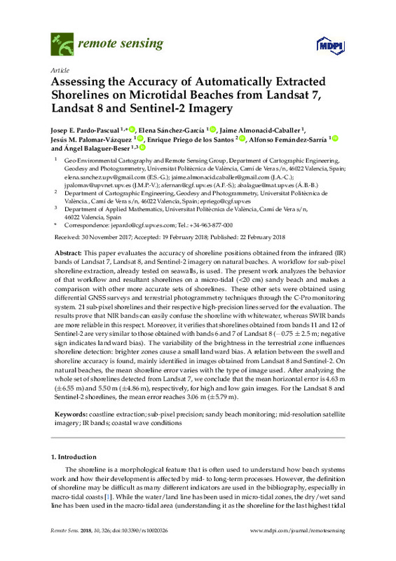
Assessing the accuracy of automatically extracted shorelines on microtidal beaches from Landsat 7, Landsat 8 and Sentinel-2 imagery
Mostrar el registro completo del ítem
Pardo Pascual, JE.; Sánchez García, E.; Almonacid-Caballer, J.; Palomar-Vázquez, J.; Priego De Los Santos, E.; Fernández-Sarría, A.; Balaguer-Beser, Á. (2018). Assessing the accuracy of automatically extracted shorelines on microtidal beaches from Landsat 7, Landsat 8 and Sentinel-2 imagery. Remote Sensing. 10(2). https://doi.org/10.3390/rs10020326
Por favor, use este identificador para citar o enlazar este ítem: http://hdl.handle.net/10251/121741
Ficheros en el ítem
Metadatos del ítem
| Título: | Assessing the accuracy of automatically extracted shorelines on microtidal beaches from Landsat 7, Landsat 8 and Sentinel-2 imagery | |
| Autor: | ||
| Entidad UPV: |
|
|
| Fecha difusión: |
|
|
| Resumen: |
[EN] This paper evaluates the accuracy of shoreline positions obtained from the infrared (IR) bands of Landsat 7, Landsat 8, and Sentinel-2 imagery on natural beaches. A workflow for sub-pixel shoreline extraction, already ...[+]
|
|
| Palabras clave: |
|
|
| Derechos de uso: | Reconocimiento (by) | |
| Fuente: |
|
|
| DOI: |
|
|
| Editorial: |
|
|
| Versión del editor: | http://doi.org/10.3390/rs10020326 | |
| Código del Proyecto: |
|
|
| Agradecimientos: |
The authors appreciate the financial support provided by the Spanish Ministry of Economy and Competitiveness in the framework of project CGL2015-69906-R. This study is part of the Ph.D. dissertation of the second author, ...[+]
|
|
| Tipo: |
|


