JavaScript is disabled for your browser. Some features of this site may not work without it.
Buscar en RiuNet
Listar
Mi cuenta
Estadísticas
Ayuda RiuNet
Admin. UPV
Assessing the accuracy of automatically extracted shorelines on microtidal beaches from Landsat 7, Landsat 8 and Sentinel-2 imagery
Mostrar el registro sencillo del ítem
Ficheros en el ítem
| dc.contributor.author | Pardo Pascual, Josep Eliseu
|
es_ES |
| dc.contributor.author | Sánchez García, Elena
|
es_ES |
| dc.contributor.author | Almonacid-Caballer, Jaime
|
es_ES |
| dc.contributor.author | Palomar-Vázquez, Jesús
|
es_ES |
| dc.contributor.author | Priego De Los Santos, Enrique
|
es_ES |
| dc.contributor.author | Fernández-Sarría, Alfonso
|
es_ES |
| dc.contributor.author | Balaguer-Beser, Ángel
|
es_ES |
| dc.date.accessioned | 2019-06-07T20:03:07Z | |
| dc.date.available | 2019-06-07T20:03:07Z | |
| dc.date.issued | 2018 | es_ES |
| dc.identifier.issn | 2072-4292 | es_ES |
| dc.identifier.uri | http://hdl.handle.net/10251/121741 | |
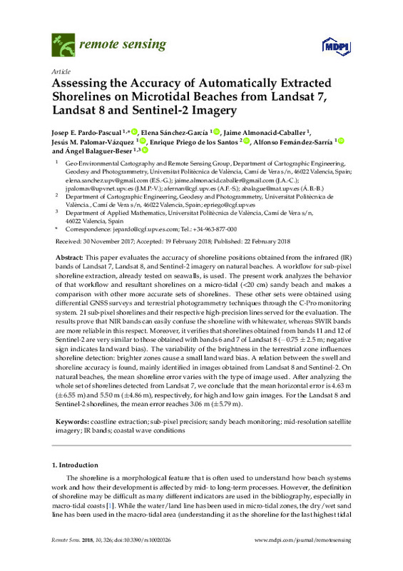
| dc.description.abstract | [EN] This paper evaluates the accuracy of shoreline positions obtained from the infrared (IR) bands of Landsat 7, Landsat 8, and Sentinel-2 imagery on natural beaches. A workflow for sub-pixel shoreline extraction, already tested on seawalls, is used. The present work analyzes the behavior of that workflow and resultant shorelines on a micro-tidal (<20 cm) sandy beach and makes a comparison with other more accurate sets of shorelines. These other sets were obtained using differential GNSS surveys and terrestrial photogrammetry techniques through the C-Pro monitoring system. 21 sub-pixel shorelines and their respective high-precision lines served for the evaluation. The results prove that NIR bands can easily confuse the shoreline with whitewater, whereas SWIR bands are more reliable in this respect. Moreover, it verifies that shorelines obtained from bands 11 and 12 of Sentinel-2 are very similar to those obtained with bands 6 and 7 of Landsat 8 (-0.75 +/- 2.5 m; negative sign indicates landward bias). The variability of the brightness in the terrestrial zone influences shoreline detection: brighter zones cause a small landward bias. A relation between the swell and shoreline accuracy is found, mainly identified in images obtained from Landsat 8 and Sentinel-2. On natural beaches, the mean shoreline error varies with the type of image used. After analyzing the whole set of shorelines detected from Landsat 7, we conclude that the mean horizontal error is 4.63 m (+/- 6.55 m) and 5.50 m (+/- 4.86 m), respectively, for high and low gain images. For the Landsat 8 and Sentinel-2 shorelines, the mean error reaches 3.06 m (+/- 5.79 m). | es_ES |
| dc.description.sponsorship | The authors appreciate the financial support provided by the Spanish Ministry of Economy and Competitiveness in the framework of project CGL2015-69906-R. This study is part of the Ph.D. dissertation of the second author, which is supported by a grant from the Spanish Ministry of Education, Culture and Sports (I+D+i 2013-2016). The authors are extremely grateful to different reviewers and editors of this work because their observations and suggestions have improved the final article a lot. | |
| dc.language | Inglés | es_ES |
| dc.publisher | MDPI AG | es_ES |
| dc.relation.ispartof | Remote Sensing | es_ES |
| dc.rights | Reconocimiento (by) | es_ES |
| dc.subject | Coastline extraction | es_ES |
| dc.subject | Sub-pixel precision | es_ES |
| dc.subject | Sandy beach monitoring | es_ES |
| dc.subject | Mid-resolution satellite imagery | es_ES |
| dc.subject | IR bands | es_ES |
| dc.subject | Coastal wave conditions | es_ES |
| dc.subject.classification | INGENIERIA CARTOGRAFICA, GEODESIA Y FOTOGRAMETRIA | es_ES |
| dc.subject.classification | MATEMATICA APLICADA | es_ES |
| dc.title | Assessing the accuracy of automatically extracted shorelines on microtidal beaches from Landsat 7, Landsat 8 and Sentinel-2 imagery | es_ES |
| dc.type | Artículo | es_ES |
| dc.identifier.doi | 10.3390/rs10020326 | es_ES |
| dc.relation.projectID | info:eu-repo/grantAgreement/MINECO//CGL2015-69906-R/ES/MONITORIZACION DE LOS CAMBIOS COSTEROS MEDIANTE TELEDETECCION PARA MITIGAR LOS IMPACTOS DEL CAMBIO CLIMATICO/ | es_ES |
| dc.relation.projectID | info:eu-repo/grantAgreement/MECD//FPU13%2F05877/ES/FPU13%2F05877/ | es_ES |
| dc.rights.accessRights | Abierto | es_ES |
| dc.contributor.affiliation | Universitat Politècnica de València. Departamento de Matemática Aplicada - Departament de Matemàtica Aplicada | es_ES |
| dc.contributor.affiliation | Universitat Politècnica de València. Departamento de Ingeniería Cartográfica Geodesia y Fotogrametría - Departament d'Enginyeria Cartogràfica, Geodèsia i Fotogrametria | es_ES |
| dc.description.bibliographicCitation | Pardo Pascual, JE.; Sánchez García, E.; Almonacid-Caballer, J.; Palomar-Vázquez, J.; Priego De Los Santos, E.; Fernández-Sarría, A.; Balaguer-Beser, Á. (2018). Assessing the accuracy of automatically extracted shorelines on microtidal beaches from Landsat 7, Landsat 8 and Sentinel-2 imagery. Remote Sensing. 10(2). https://doi.org/10.3390/rs10020326 | es_ES |
| dc.description.accrualMethod | S | es_ES |
| dc.relation.publisherversion | http://doi.org/10.3390/rs10020326 | es_ES |
| dc.type.version | info:eu-repo/semantics/publishedVersion | es_ES |
| dc.description.volume | 10 | es_ES |
| dc.description.issue | 2 | es_ES |
| dc.relation.pasarela | S\353868 | es_ES |
| dc.contributor.funder | Ministerio de Educación | es_ES |
| dc.contributor.funder | Ministerio de Economía, Industria y Competitividad | es_ES |


