JavaScript is disabled for your browser. Some features of this site may not work without it.
Buscar en RiuNet
Listar
Mi cuenta
Estadísticas
Ayuda RiuNet
Admin. UPV
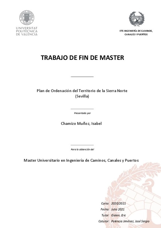
Plan de Ordenación del Territorio de la Sierra Norte (Sevilla)
Mostrar el registro completo del ítem
Chamizo Muñoz, I. (2021). Plan de Ordenación del Territorio de la Sierra Norte (Sevilla). Universitat Politècnica de València. http://hdl.handle.net/10251/173170
Por favor, use este identificador para citar o enlazar este ítem: http://hdl.handle.net/10251/173170
Ficheros en el ítem
Metadatos del ítem
| Título: | Plan de Ordenación del Territorio de la Sierra Norte (Sevilla) | |||
| Autor: | Chamizo Muñoz, Isabel | |||
| Director(es): | ||||
| Entidad UPV: |
|
|||
| Fecha acto/lectura: |
|
|||
| Resumen: |
[ES] El objeto del presente Proyecto es la redacción de un Plan de Ordenación del Territorio (POT) para el ámbito territorial de la Sierra Norte de Sevilla, compuesto por 18 municipios. Estos planes establecen los elementos ...[+]
[EN] The purpose of this Project is the drafting of a Land Use Plan (POT) for the territorial area of the Sierra Norte (Sevilla), composed of 18 municipalities. These important plans are the basic elements for the organization ...[+]
|
|||
| Palabras clave: |
|
|||
| Derechos de uso: | Reconocimiento - No comercial (by-nc) | |||
| Editorial: |
|
|||
| Titulación: |
|
|||
| Tipo: |
|
Localización
recommendations
Este ítem aparece en la(s) siguiente(s) colección(ones)
-
ETSICCP - Trabajos académicos [2377]
Escuela Técnica Superior de Ingenieros de Caminos, Canales y Puertos


