JavaScript is disabled for your browser. Some features of this site may not work without it.
Buscar en RiuNet
Listar
Mi cuenta
Estadísticas
Ayuda RiuNet
Admin. UPV
Mejorando la calidad de los mapas de deformaciones generados por la cadena PSIG del CTTC: la suite de herramientas VETools
Mostrar el registro sencillo del ítem
Ficheros en el ítem
| dc.contributor.author | Navarro, José
|
es_ES |
| dc.contributor.author | Barra, Anna
|
es_ES |
| dc.contributor.author | Monserrat, Oriol
|
es_ES |
| dc.contributor.author | Crosetto, Michele
|
es_ES |
| dc.date.accessioned | 2021-10-13T12:24:37Z | |
| dc.date.available | 2021-10-13T12:24:37Z | |
| dc.date.issued | 2021-10-01 | |
| dc.identifier.isbn | 9788490489611 | |
| dc.identifier.uri | http://hdl.handle.net/10251/174586 | |
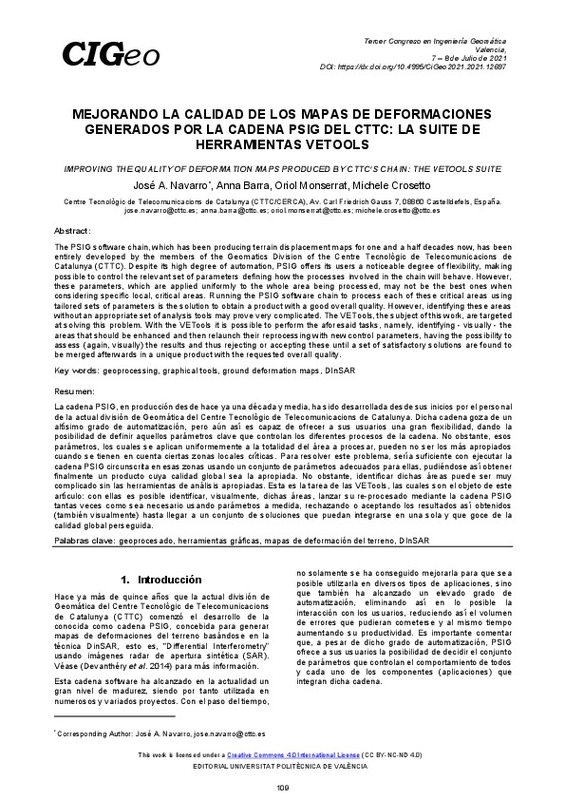
| dc.description.abstract | [EN] The PSIG software chain, which has been producing terrain displacement maps for one and a half decades now, has been entirely developed by the members of the Geomatics Division of the Centre Tecnològic de Telecomunicacions de Catalunya (CTTC). Despite its high degree of automation, PSIG offers its users a noticeable degree of flexibility, making possible to control the relevant set of parameters defining how the processes involved in the chain will behave. However, these parameters, which are applied uniformly to the whole area being processed, may not be the best ones when considering specific local, critical areas. Running the PSIG software chain to process each of these critical areas using tailored sets of parameters is the solution to obtain a product with a good overall quality. However, identifying these areas without an appropriate set of analysis tools may prove very complicated. The VETools, the subject of this work, are targeted at solving this problem. With the VETools it is possible to perform the aforesaid tasks, namely, identifying - visually - the areas that should be enhanced and then relaunch their reprocessing with new control parameters, having the possibility to assess (again, visually) the results and thus rejecting or accepting these until a set of satisfactory solutions are found to be merged afterwards in a unique product with the requested overall quality. | es_ES |
| dc.description.abstract | [ES] La cadena PSIG, en producción desde hace ya una década y media, ha sido desarrollada desde sus inicios por el personal de la actual división de Geomática del Centre Tecnològic de Telecomunicacions de Catalunya. Dicha cadena goza de un altísimo grado de automatización, pero aún así es capaz de ofrecer a sus usuarios una gran flexibilidad, dando la posibilidad de definir aquellos parámetros clave que controlan los diferentes procesos de la cadena. No obstante, esos parámetros, los cuales se aplican uniformemente a la totalidad del área a procesar, pueden no ser los más apropiados cuando se tienen en cuenta ciertas zonas locales críticas. Para resolver este problema, sería suficiente con ejecutar la cadena PSIG circunscrita en esas zonas usando un conjunto de parámetros adecuados para ellas, pudiéndose así obtener finalmente un producto cuya calidad global sea la apropiada. No obstante, identificar dichas áreas puede ser muy complicado sin las herramientas de análisis apropiadas. Esta es la tarea de las VETools, las cuales son el objeto de este artículo: con ellas es posible identificar, visualmente, dichas áreas, lanzar su re-procesado mediante la cadena PSIG tantas veces como sea necesario usando parámetros a medida, rechazando o aceptando los resultados así obtenidos(también visualmente) hasta llegar a un conjunto de soluciones que puedan integrarse en una sola y que goce de la calidad global perseguida. | es_ES |
| dc.description.sponsorship | Este trabajo ha sido co-financiado por el Fondo Europeo de Desarrollo Regional (“European Regional Development Fund”) a través de Interreg V-A España, Francia y Andorra (POCTEFA 2014-2020), proyecto EFA295/19. | es_ES |
| dc.format.extent | 9 | es_ES |
| dc.language | Español | es_ES |
| dc.publisher | Editorial Universitat Politècnica de València | es_ES |
| dc.relation.ispartof | Proceedings 3rd Congress in Geomatics Engineering | |
| dc.rights | Reconocimiento - No comercial - Sin obra derivada (by-nc-nd) | es_ES |
| dc.subject | Geocomputing | es_ES |
| dc.subject | 3D Modelling | es_ES |
| dc.subject | Cultural Heritage | es_ES |
| dc.subject | Geodesy | es_ES |
| dc.subject | Geophysics | es_ES |
| dc.subject | Earth observation | es_ES |
| dc.subject | Cartography | es_ES |
| dc.subject | Environmental applications | es_ES |
| dc.subject | Geoprocessing | es_ES |
| dc.subject | Graphical tools | es_ES |
| dc.subject | Ground deformation maps | es_ES |
| dc.subject | DInSAR | es_ES |
| dc.subject | Geoprocesado | es_ES |
| dc.subject | Herramientas gráficas | es_ES |
| dc.subject | Mapas de deformación del terreno | es_ES |
| dc.title | Mejorando la calidad de los mapas de deformaciones generados por la cadena PSIG del CTTC: la suite de herramientas VETools | es_ES |
| dc.title.alternative | Improving the quality of deformation maps produced by CTTC’s chain: the VETools suite | es_ES |
| dc.type | Capítulo de libro | es_ES |
| dc.type | Comunicación en congreso | es_ES |
| dc.identifier.doi | 10.4995/CiGeo2021.2021.12697 | |
| dc.relation.projectID | info:eu-repo/grantAgreement/FEDER//EFA295/19/ | es_ES |
| dc.rights.accessRights | Abierto | es_ES |
| dc.description.bibliographicCitation | Navarro, J.; Barra, A.; Monserrat, O.; Crosetto, M. (2021). Mejorando la calidad de los mapas de deformaciones generados por la cadena PSIG del CTTC: la suite de herramientas VETools. En Proceedings 3rd Congress in Geomatics Engineering. Editorial Universitat Politècnica de València. 109-117. https://doi.org/10.4995/CiGeo2021.2021.12697 | es_ES |
| dc.description.accrualMethod | OCS | es_ES |
| dc.relation.conferencename | 3rd Congress in Geomatics Engineering | es_ES |
| dc.relation.conferencedate | Julio 07-08, 2021 | es_ES |
| dc.relation.conferenceplace | Valencia, Spain | es_ES |
| dc.relation.publisherversion | http://ocs.editorial.upv.es/index.php/CIGeo/CiGeo2021/paper/view/12697 | es_ES |
| dc.description.upvformatpinicio | 109 | es_ES |
| dc.description.upvformatpfin | 117 | es_ES |
| dc.type.version | info:eu-repo/semantics/publishedVersion | es_ES |
| dc.relation.pasarela | OCS\12697 | es_ES |
| dc.contributor.funder | European Regional Development Fund | es_ES |


