JavaScript is disabled for your browser. Some features of this site may not work without it.
Buscar en RiuNet
Listar
Mi cuenta
Estadísticas
Ayuda RiuNet
Admin. UPV
LA CARTOGRAFÍA ESPAÑOLA DE LAS COSTAS DE NORTEAMÉRICA DE LOS SIGLOS XVI AL XVIII: APORTACIONES AL CONTEXTO CIENTÍFICO INTERNACIONAL
Mostrar el registro completo del ítem
Chias Navarro, P. (2011). LA CARTOGRAFÍA ESPAÑOLA DE LAS COSTAS DE NORTEAMÉRICA DE LOS SIGLOS XVI AL XVIII: APORTACIONES AL CONTEXTO CIENTÍFICO INTERNACIONAL. EGA. Revista de Expresión Gráfica Arquitectónica. 16(18):38-49. https://doi.org/10.4995/ega.2011.1334
Por favor, use este identificador para citar o enlazar este ítem: http://hdl.handle.net/10251/19022
Ficheros en el ítem
Metadatos del ítem
| Título: | LA CARTOGRAFÍA ESPAÑOLA DE LAS COSTAS DE NORTEAMÉRICA DE LOS SIGLOS XVI AL XVIII: APORTACIONES AL CONTEXTO CIENTÍFICO INTERNACIONAL | |
| Otro titulo: |
|
|
| Autor: | Chias Navarro, Pilar | |
| Fecha difusión: |
|
|
| Resumen: |
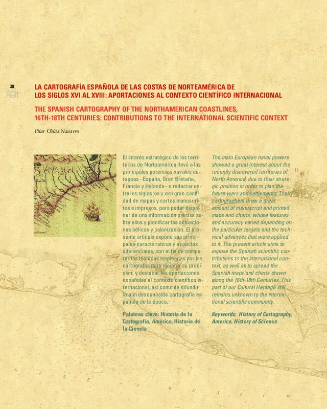
[EN] The main European naval powers showed a great interest about the recently discovered territories of North America, due to their strategic position in order to plan the future wars and settlements. Their cartographers ...[+]
[ES] El interés estratégico de los territorios de Norteamérica llevó a las principales potencias navales europeas ¿España, Gran Bretaña, Francia y Holanda¿ a redactar entre los siglos XVI y XVIII gran cantidad de mapas y ...[+]
|
|
| Palabras clave: |
|
|
| Derechos de uso: | Reserva de todos los derechos | |
| Fuente: |
|
|
| DOI: |
|
|
| Editorial: |
|
|
| Versión del editor: | https://doi.org/10.4995/ega.2011.1334 | |
| Tipo: |
|


