JavaScript is disabled for your browser. Some features of this site may not work without it.
Buscar en RiuNet
Listar
Mi cuenta
Estadísticas
Ayuda RiuNet
Admin. UPV
Forecasting Post-Earthquake Rockfall Activity
Mostrar el registro sencillo del ítem
Ficheros en el ítem
| dc.contributor.author | Olsen, Michael
|
es_ES |
| dc.contributor.author | Massey, Chris
|
es_ES |
| dc.contributor.author | Leshchinsky, Ben
|
es_ES |
| dc.contributor.author | Wartman, Joseph
|
es_ES |
| dc.contributor.author | Senogles, Andrew
|
es_ES |
| dc.date.accessioned | 2023-02-22T11:05:36Z | |
| dc.date.available | 2023-02-22T11:05:36Z | |
| dc.date.issued | 2023-01-27 | |
| dc.identifier.isbn | 9788490489796 | |
| dc.identifier.uri | http://hdl.handle.net/10251/192021 | |
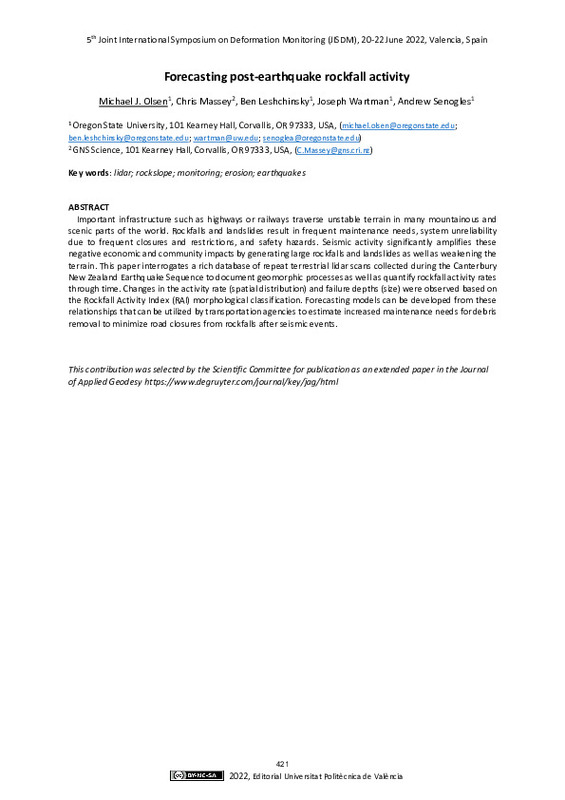
| dc.description.abstract | [EN] Important infrastructure such as highways or railways traverse unstable terrain in many mountainous and scenic parts of the world. Rockfalls and landslides result in frequent maintenance needs, system unreliability due to frequent closures and restrictions, and safety hazards. Seismic activity significantly amplifies these negative economic and community impacts by generating large rockfalls and landslides as well as weakening the terrain. This paper interrogates a rich database of repeat terrestrial lidar scans collected during the Canterbury New Zealand Earthquake Sequence to document geomorphic processes as well as quantify rockfall activity rates through time. Changes in the activity rate (spatial distribution) and failure depths (size) were observed based on the Rockfall Activity Index (RAI) morphological classification. Forecasting models can be developed from these relationships that can be utilized by transportation agencies to estimate increased maintenance needs for debris removal to minimize road closures from rockfalls after seismic events. | es_ES |
| dc.language | Inglés | es_ES |
| dc.publisher | Editorial Universitat Politècnica de València | es_ES |
| dc.relation.ispartof | 5th Joint International Symposium on Deformation Monitoring (JISDM 2022) | |
| dc.rights | Reconocimiento - No comercial - Compartir igual (by-nc-sa) | es_ES |
| dc.subject | Light detection and ranging (LiDAR) | es_ES |
| dc.subject | Rockslope | es_ES |
| dc.subject | Monitoring | es_ES |
| dc.subject | Erosion | es_ES |
| dc.subject | Earthquakes | es_ES |
| dc.title | Forecasting Post-Earthquake Rockfall Activity | es_ES |
| dc.type | Capítulo de libro | es_ES |
| dc.type | Comunicación en congreso | es_ES |
| dc.rights.accessRights | Abierto | es_ES |
| dc.description.bibliographicCitation | Olsen, M.; Massey, C.; Leshchinsky, B.; Wartman, J.; Senogles, A. (2023). Forecasting Post-Earthquake Rockfall Activity. En 5th Joint International Symposium on Deformation Monitoring (JISDM 2022). Editorial Universitat Politècnica de València. http://hdl.handle.net/10251/192021 | es_ES |
| dc.description.accrualMethod | OCS | es_ES |
| dc.relation.conferencename | 5th Joint International Symposium on Deformation Monitoring | es_ES |
| dc.relation.conferencedate | Junio 20-22, 2022 | es_ES |
| dc.relation.conferenceplace | València, España | es_ES |
| dc.relation.publisherversion | http://ocs.editorial.upv.es/index.php/JISDM/JISDM2022/paper/view/13890 | es_ES |
| dc.type.version | info:eu-repo/semantics/publishedVersion | es_ES |
| dc.relation.pasarela | OCS\13890 | es_ES |
| dc.contributor.funder | Earthquake Commission, New Zealand | es_ES |
| dc.contributor.funder | National Science Foundation, EEUU | es_ES |
| dc.contributor.funder | Oregon Department of Transportation | es_ES |
| dc.contributor.funder | Pacific Northwest Transportation Consortium |


