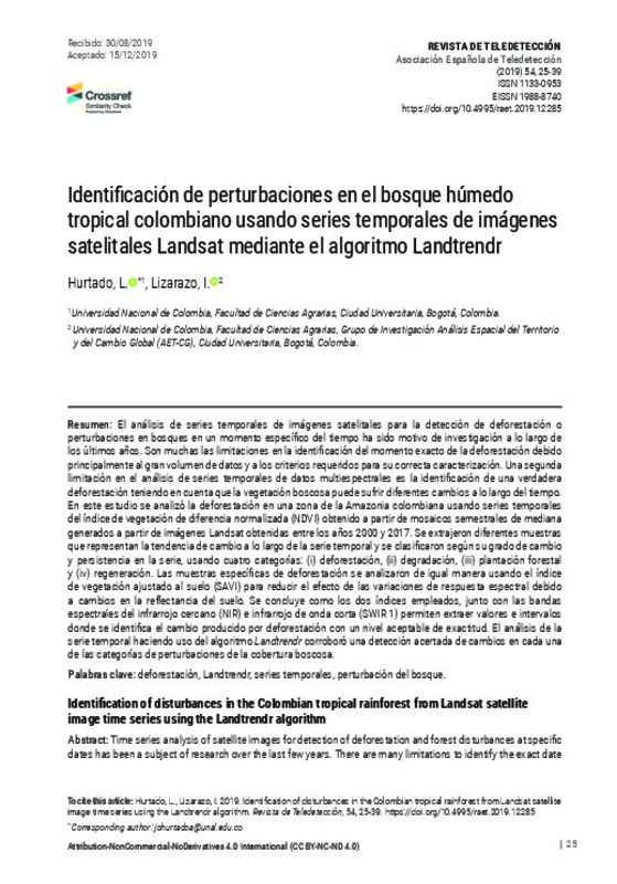
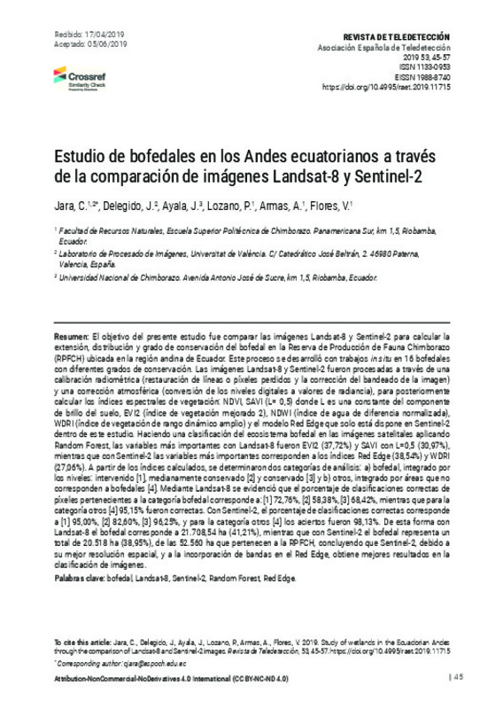
Hurtado, L.; Lizarazo, Iván(Universitat Politècnica de València, 2019-12-23)
[ES] El análisis de series temporales de imágenes satelitales para la detección de deforestación o
perturbaciones en bosques en un momento específico del tiempo ha sido motivo de investigación a lo largo de
los últimos ...
[EN] The objective of the present study was to compare the Landsat-8 and Sentinel-2 images to calculate the wetland´s extension, distribution and degree of conservation, in Reserva de Producción de Fauna Chinborazo (RPFCH) ...
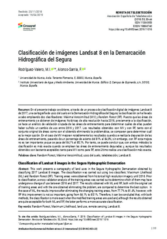
Rodríguez-Valero, M. I.; Alonso-Sarria, F.(Universitat Politècnica de València, 2019-06-27)
[EN] This work presents a cartography of land uses in the Segura Hydrographic Demarcation obtained by classifying 2017 Landsat 8 images. The classification was carried out using two classifiers: Maximum Likelihood (ML) and ...
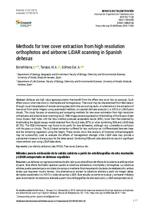
Borlaf-Mena, I.; Tanase, M. A.; Gómez-Sal, A.(Universitat Politècnica de València, 2019-06-27)
[EN] Dehesas are high value agroecosystems that benefit from the effect tree cover has on pastures. Such effect occurs when tree cover is incomplete and homogeneous. Tree cover may be characterized from field data or through ...
Fidalgo-González, L. A.; Arellano-Pérez, S.; Álvarez-González, J. G.; Castedo-Dorado, F.; Ruiz-González, A. D.; González-Ferreiro, E.(Universitat Politècnica de València, 2019-06-27)
[EN] Canopy fuel load, canopy bulk density and canopy base height are structural variables used to predict crown fire initiation and spread. Direct measurement of these variables is not functional, and they are usually ...