JavaScript is disabled for your browser. Some features of this site may not work without it.
Buscar en RiuNet
Listar
Mi cuenta
Estadísticas
Ayuda RiuNet
Admin. UPV
Land surface phenology from SPOT VEGETATION time series
Mostrar el registro sencillo del ítem
Ficheros en el ítem
| dc.contributor.author | Verger, A.
|
es_ES |
| dc.contributor.author | Filella, I.
|
es_ES |
| dc.contributor.author | Baret, F.
|
es_ES |
| dc.contributor.author | Peñuelas, J.
|
es_ES |
| dc.date.accessioned | 2017-05-02T09:51:53Z | |
| dc.date.available | 2017-05-02T09:51:53Z | |
| dc.date.issued | 2016-12-27 | |
| dc.identifier.issn | 1133-0953 | |
| dc.identifier.uri | http://hdl.handle.net/10251/80300 | |
| dc.description | Revista oficial de la Asociación Española de Teledetección | |
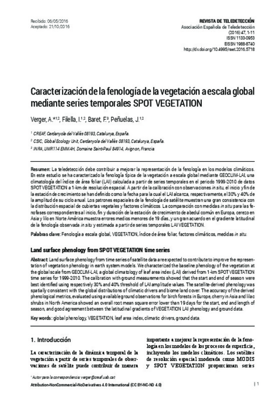
| dc.description.abstract | [EN] Land surface phenology from time series of satellite data are expected to contribute to improve the represen-tation of vegetation phenology in earth system models. We characterized the baseline phenology of the vegetation at the global scale from GEOCLIM-LAI, a global climatology of leaf area index (LAI) derived from 1-km SPOT VEGETATION time series for 1999-2010. The calibration with ground measurements showed that the start and end of season were best identified using respectively 30% and 40% threshold of LAI amplitude values. The satellite-derived phenology was spatially consistent with the global distributions of climatic drivers and biome land cover. The accuracy of the derived phenological metrics, evaluated using available ground observations for birch forests in Europe, cherry in Asia and lilac shrubs in North America showed an overall root mean square error lower than 19 days for the start, end and length of season, and good agreement between the latitudinal gradients of VEGETATION LAI phenology and ground data | es_ES |
| dc.description.abstract | [ES] La teledetección debe contribuir a mejorar la representación de la fenología en los modelos climáticos. En este estudio se ha caracterizado la fenología típica de la vegetación a escala global mediante GEOCLIM-LAI, una climatología del índice de área foliar (LAI) calculada a partir de series temporales en el periodo 1999-2010 de datos SPOT VEGETATION a 1-km de resolución espacial. A partir de la calibración con observaciones in situ, el inicio y fin de la estación de crecimiento se han definido como la fecha para la cual el LAI alcanza, respectivamente, el 30% y 40% de la amplitud de su ciclo anual. Los patrones espaciales de la fenología de satélite muestran una gran consistencia con la distribución espacial de cubiertas vegetales y factores climáticos. La comparación con medidas in situ para las fe-nofases correspondientes al inicio, fin y duración de la estación de crecimiento de abedul común en Europa, cerezo en Asia y lilo en Norte América muestra errores medios menores de 19 días, y un gran acuerdo en el gradiente latitudinal de la fenología observada in situ y estimada a partir de series temporales LAI VEGETATION. | es_ES |
| dc.description.sponsorship | Este trabajo ha sido financiado en parte por el programa Europeo de observación Copernicus Global Land, y los proyectos FP7 geoland2 (218795), GIOBIO (32-566), LONGLOVE (32-594), CGL2013-48074-P, SGR 2014-274 y IMBALANCE-P (ERC-2013-SyG-610028). A. Verger fue beneficiario de un contrato Juan de la Cierva del Ministerio de Ciencia e Innovación, Gobierno de España. | |
| dc.language | Español | es_ES |
| dc.publisher | Universitat Politècnica de València | |
| dc.relation.ispartof | Revista de Teledetección | |
| dc.rights | Reconocimiento - No comercial - Sin obra derivada (by-nc-nd) | es_ES |
| dc.subject | Fenología a escala global | es_ES |
| dc.subject | Vegetation | es_ES |
| dc.subject | Índice de área foliar | es_ES |
| dc.subject | Factores climáticos | es_ES |
| dc.subject | Medidas in situ | es_ES |
| dc.subject | Global phenology | es_ES |
| dc.subject | Leaf area index | es_ES |
| dc.subject | Climatic drivers | es_ES |
| dc.subject | Ground data | es_ES |
| dc.title | Land surface phenology from SPOT VEGETATION time series | es_ES |
| dc.title.alternative | Caracterización de la fenología de la vegetación a escala global mediante series temporales SPOT VEGETATION | es_ES |
| dc.type | Artículo | es_ES |
| dc.date.updated | 2017-05-02T07:38:04Z | |
| dc.identifier.doi | 10.4995/raet.2016.5718 | |
| dc.relation.projectID | info:eu-repo/grantAgreement/EC/FP7/218795/EU/geoland2 - towards an operational GMES Land Monitoring Core Service/ | es_ES |
| dc.relation.projectID | info:eu-repo/grantAgreement/EC/FP7/610028/EU/Effects of phosphorus limitations on Life, Earth system and Society/ | |
| dc.relation.projectID | info:eu-repo/grantAgreement/INRA//LONGLOVE (32-594)/ | es_ES |
| dc.relation.projectID | info:eu-repo/grantAgreement/MINECO//CGL2013-48074-P/ES/IMPACTOS DE LA CRECIENTE DESPROPORCION AMBIENTAL ENTRE N Y P SOBRE ORGANISMOS, COMUNIDADES Y ECOSISTEMAS TERRESTRES/ | es_ES |
| dc.relation.projectID | info:eu-repo/grantAgreement/Generalitat de Catalunya//2014 SGR 274/ | es_ES |
| dc.relation.projectID | info:eu-repo/grantAgreement/CREAF//CREAF 32-566/ES/GIOBIO | |
| dc.rights.accessRights | Abierto | es_ES |
| dc.description.bibliographicCitation | Verger, A.; Filella, I.; Baret, F.; Peñuelas, J. (2016). Land surface phenology from SPOT VEGETATION time series. Revista de Teledetección. (47):1-11. https://doi.org/10.4995/raet.2016.5718 | es_ES |
| dc.description.accrualMethod | SWORD | es_ES |
| dc.relation.publisherversion | https://doi.org/10.4995/raet.2016.5718 | es_ES |
| dc.description.upvformatpinicio | 1 | es_ES |
| dc.description.upvformatpfin | 11 | es_ES |
| dc.type.version | info:eu-repo/semantics/publishedVersion | es_ES |
| dc.description.issue | 47 | |
| dc.identifier.eissn | 1988-8740 | |
| dc.contributor.funder | European Commission | |
| dc.contributor.funder | Institut National de la Recherche Agronomique, Francia | es_ES |
| dc.contributor.funder | Ministerio de Ciencia e Innovación | |
| dc.contributor.funder | Generalitat de Catalunya | es_ES |
| dc.contributor.funder | Centro de Investigación Ecológica y Aplicaciones Forestales |


