JavaScript is disabled for your browser. Some features of this site may not work without it.
Buscar en RiuNet
Listar
Mi cuenta
Estadísticas
Ayuda RiuNet
Admin. UPV
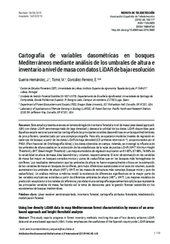
Using low density LiDAR data to map Mediterranean forest characteristics by means of an area-based approach and height threshold analysis
Mostrar el registro sencillo del ítem
Ficheros en el ítem
| dc.contributor.author | Guerra-Hernández, J.
|
es_ES |
| dc.contributor.author | Tomé, M.
|
es_ES |
| dc.contributor.author | González-Ferreiro, E.
|
es_ES |
| dc.coverage.spatial | east=-6.272718499999996; north=38.0890499; name= Monesterio, Badajoz, Espanya | |
| dc.date.accessioned | 2017-05-03T09:02:42Z | |
| dc.date.available | 2017-05-03T09:02:42Z | |
| dc.date.issued | 2016-06-27 | |
| dc.identifier.issn | 1133-0953 | |
| dc.identifier.uri | http://hdl.handle.net/10251/80380 | |
| dc.description | Revista oficial de la Asociación Española de Teledetección | |
| dc.description.abstract | [EN] This study reports progress in forest inventory methods involving the use of low density airborne LiDAR data and an area-based approach (ABA). It also emphasizes the usefulness of the Spanish countrywide LiDAR dataset for mapping forest stand attributes in Mediterranean stone pine forest characterized by complex orography. Lowdensity airborne LiDAR data (0.5 first returns m–2) was used to develop individual regression models for a set of forest stand variables in different types of forest. LiDAR data is now freely available for most of the Spanish territory and is provided by the Spanish National Aerial Photography Program (Plan Nacional de Ortofotografía Aérea, PNOA). The influence of height thresholds (MHT: Minimun Height Threshold and BHT: Break Height Threshold) used in extracting LiDAR metrics was also investigated. The best regression models explained 61-85%, 67-98% and 74-98% of the variability in ground-truth stand height, basal area and volume, respectively. The magnitude of error for predicting structural vegetation parameters was higher in closed deciduous and mixed forest than in the more homogeneous coniferous stands. Analysis of height thresholds (HT) revealed that these parameters were not particularly important for estimating several forest attributes in the coniferous forest; nevertheless, substantial differences in volume modelling were observed when the height thresholds (MHT and BHT) were increased in complex structural vegetation (mixed and deciduous forest). A metric-by-metric analysis revealed that there were significant differences in most of the explanatory variables computed from different height thresholds (HBT and MHT).The best models were applied to the reference stands to yield spatially explicit predictions about the forest resources. Reliable mapping of biometric variables was implemented to facilitate effective and sustainable management strategies and practices in Mediterranean Forest ecosystems. | es_ES |
| dc.description.abstract | [ES] Este estudio presenta avances en la metodología de inventario forestal a nivel de masa (area-based approach, ABA) con datos LiDAR aerotransportado de baja densidad y destaca la utilidad de los datos LiDAR disponibles para España a escala nacional para realizar cartografía de las principales variables dasométricas en un bosque Mediterráneo de pino piñonero, caracterizado por una compleja orografía. Para ello, se ajustaron modelos lineales de regresión en cada tipo de bosque, a partir de los datos LiDAR de baja densidad (0,5 primeros retornos m–2), proporcionados por el PNOA (Plan Nacional de Ortofotografía Aérea) y los datos obtenidos en campo. Además, se investigó la influencia de los umbrales de altura usados en la extracción de los estadísticos de la nube de puntos LiDAR (MHT: Minimun Height ThresholdyBHT: Break Height Threshold). Los mejores modelos de regresión explicaron un 61-85%, 67-98%, 74-98% de la variabilidad en altura de masa, área basimétrica y volumen, respectivamente. El error de estimación en las variables de masa fue mayor en bosques cerrados mixtos y puros de caducifolias que en los bosques más homogéneos de coníferas. Los resultados demostraron que los umbrales de altura no fueron especialmente críticos en la estimación de las variables de masa en bosques de coníferas, pero hubo diferencias sustanciales en el caso de volumen, cuando aumentaron los umbrales de altura (HBTy MHT) en las masas de estructura más compleja (bosque mixto y puro de caducifolias). Un análisis métrica a métrica reveló la existencia de diferencias significativas en la mayor parte de las variables explicativas extraídas a partir de diferentes umbrales de altura (HBTy MHT). Los mejores modelos de predicción se aplicaron a los rodales de referencia y se elaboró una cartografía espacialmente explícita que representa las principales variables de masa, facilitando así la toma de decisiones para la gestión forestal sostenible en los ecosistemas de bosque mediterráneo | es_ES |
| dc.description.sponsorship | Thanks to: i) the Portuguese Science Foundation (SFRH/BD/52408/2013); ii) the Galician Government and European Social Fund (Official Journal of Galicia – DOG nº 52, 17/03/2014 p. 11343, exp: POS-A/2013/049); iii) the foresters of the Extremadura Forest Service iv) Dr. Juan Gabriel Álvarez González (Department of Agroforestry Engineering, University of Santiago de Compostela) for the relevant remarks, suggestions and his advice using the statistical software SAS/STAT; and v) anonymous referees of “Revista de Teledetección”, whose comments helped us to improve the article. The research was carried out in the Centro de Estudos Florestais: a research unit funded by Fundação para a Ciência e a Tecnologia (Portugal) within UID/AGR/00239/2013. | |
| dc.language | Español | es_ES |
| dc.publisher | Universitat Politècnica de València | |
| dc.relation.ispartof | Revista de Teledetección | |
| dc.rights | Reconocimiento - No comercial - Sin obra derivada (by-nc-nd) | es_ES |
| dc.subject | Láser escáner aerotransportado | es_ES |
| dc.subject | Inventario forestal | es_ES |
| dc.subject | Cartografía atributos forestales | es_ES |
| dc.subject | Teledetección | es_ES |
| dc.subject | Modelización forestal | es_ES |
| dc.subject | Airborne laser scanning data | es_ES |
| dc.subject | Forest inventory | es_ES |
| dc.subject | Forest attribute mapping | es_ES |
| dc.subject | Remote sensing | es_ES |
| dc.subject | Forest modelling | es_ES |
| dc.title | Using low density LiDAR data to map Mediterranean forest characteristics by means of an area-based approach and height threshold analysis | es_ES |
| dc.title.alternative | Cartografía de variables dasométricas en bosques Mediterráneos mediante análisis de los umbrales de altura e inventario a nivel de masa con datos LiDAR de baja resolución | es_ES |
| dc.type | Artículo | es_ES |
| dc.date.updated | 2017-05-03T07:01:23Z | |
| dc.identifier.doi | 10.4995/raet.2016.3980 | |
| dc.relation.projectID | info:eu-repo/grantAgreement/FCT/5876/147339/PT/Forest Research Centre/ | en_EN |
| dc.relation.projectID | info:eu-repo/grantAgreement/Xunta de Galicia//POS-A%2F2013%2F049/ | |
| dc.relation.projectID | info:eu-repo/grantAgreement/FCT/SFRH/SFRH%2FBD%2F52408%2F2013/PT/ | |
| dc.rights.accessRights | Abierto | es_ES |
| dc.description.bibliographicCitation | Guerra-Hernández, J.; Tomé, M.; González-Ferreiro, E. (2016). Using low density LiDAR data to map Mediterranean forest characteristics by means of an area-based approach and height threshold analysis. Revista de Teledetección. (46):103-117. https://doi.org/10.4995/raet.2016.3980 | es_ES |
| dc.description.accrualMethod | SWORD | es_ES |
| dc.relation.publisherversion | https://doi.org/10.4995/raet.2016.3980 | es_ES |
| dc.description.upvformatpinicio | 103 | es_ES |
| dc.description.upvformatpfin | 117 | es_ES |
| dc.type.version | info:eu-repo/semantics/publishedVersion | es_ES |
| dc.description.issue | 46 | |
| dc.identifier.eissn | 1988-8740 | |
| dc.contributor.funder | Fundação para a Ciência e a Tecnologia, Portugal | |
| dc.contributor.funder | Xunta de Galicia |


