- RiuNet repositorio UPV
- :
- Investigación
- :
- Material investigación. Editorial UPV
- :
- Revistas UPV. Editorial UPV
- :
- Revista de Teledetección
- :
- Revista de Teledetección - Núm. 43 (2015)
JavaScript is disabled for your browser. Some features of this site may not work without it.
Refinar
Desde el lunes 3 y hasta el jueves 20 de marzo, RiuNet funcionará en modo de solo lectura a causa de su actualización a una nueva versión.
Revista de Teledetección - Núm. 43 (2015)
Tabla de contenidos
- Editorial
Research articles
- Mapping of fuels and fire potentials in the African Continent using FCCS
- Implications of quality filtering of Enhanced Vegetation Index (EVI) for ecosystem functioning monitoring
- Study of the NDVI with multi-scale and time-series analysis using SPOT imagery during the period 1998-2012 in Uruguay
- Monitoring the latent and sensible heat fluxes in vineyard by applying the energy balance model METRIC
- Towards a long-term dataset of ELBARA-II measurements assisting SMOS level-3 land product and algorithm validation at the Valencia Anchor Station
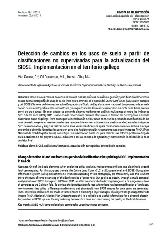
- Change detection in land use from unsupervised classifications for updating SIOSE. Implementation in Galicia
Practical cases
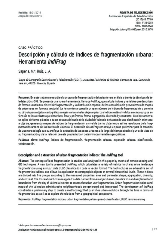
- Description and extraction of urban fragmentation indices: The Indifrag tool
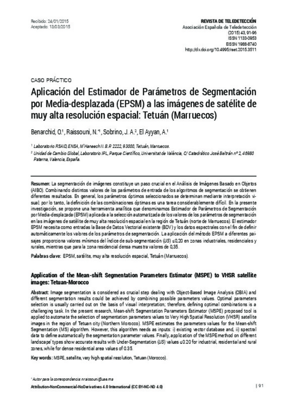
- Application of the Mean-shift Segmentation Parameters Estimator (MSPE) to VHSR satellite images: Tetuan-Morocco
Doctoral theses
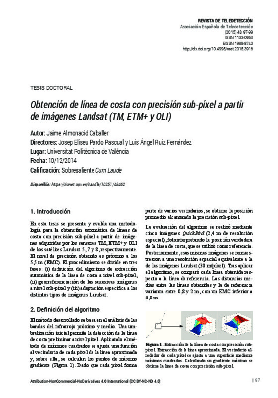
- Extraction of shorelines with sub-pixel precision from Landsat images (TM, ETM+, OLI)


