JavaScript is disabled for your browser. Some features of this site may not work without it.
Buscar en RiuNet
Listar
Mi cuenta
Estadísticas
Ayuda RiuNet
Admin. UPV
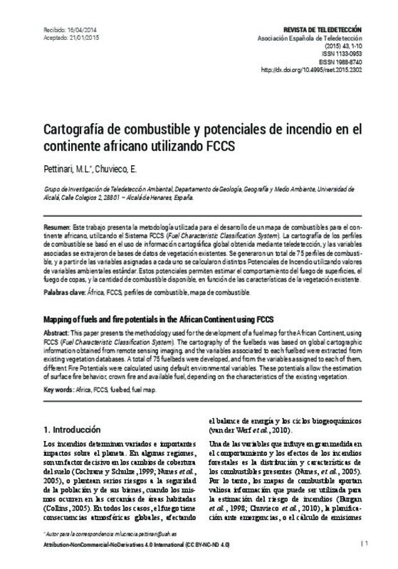
Mapping of fuels and fire potentials in the African Continent using FCCS
Mostrar el registro completo del ítem
Pettinari, M.; Chuvieco, E. (2015). Mapping of fuels and fire potentials in the African Continent using FCCS. Revista de Teledetección. (43):1-10. https://doi.org/10.4995/raet.2015.2302
Por favor, use este identificador para citar o enlazar este ítem: http://hdl.handle.net/10251/80563
Ficheros en el ítem
Metadatos del ítem
| Título: | Mapping of fuels and fire potentials in the African Continent using FCCS | |
| Otro titulo: |
|
|
| Autor: | Pettinari, M.L. Chuvieco, E. | |
| Fecha difusión: |
|
|
| Resumen: |
[EN] This paper presents the methodology used for the development of a fuel map for the African Continent, using FCCS (Fuel Characteristic Classification System). The cartography of the fuelbeds was based on global ...[+]
[ES] Este trabajo presenta la metodología utilizada para el desarrollo de un mapa de combustibles para el con-tinente africano, utilizando el Sistema FCCS (Fuel Characteristic Classification System). La cartografía de los ...[+]
|
|
| Palabras clave: |
|
|
| Derechos de uso: | Reconocimiento - No comercial - Sin obra derivada (by-nc-nd) | |
| Fuente: |
|
|
| DOI: |
|
|
| Editorial: |
|
|
| Versión del editor: | https://doi.org/10.4995/raet.2015.2302 | |
| Código del Proyecto: |
|
|
| Descripción: |
|
|
| Agradecimientos: |
Al proyecto CERESS (Coupling land surface
Energy and water balance from Remote sensing
for mapping Evapotranspiration, water Stress and
Soil moisture, ref: AGL2011-30498-C02-01) financiado
por el Ministerio de Ciencia ...[+]
|
|
| Tipo: |
|


