JavaScript is disabled for your browser. Some features of this site may not work without it.
Buscar en RiuNet
Listar
Mi cuenta
Estadísticas
Ayuda RiuNet
Admin. UPV
LA LUZ COMO INTERFAZ. DERIVAS ENTRE EL MAPA Y EL TERRITORIO
Mostrar el registro sencillo del ítem
Ficheros en el ítem
| dc.contributor.author | Yeregui, Mariela
|
es_ES |
| dc.date.accessioned | 2017-07-11T06:31:04Z | |
| dc.date.available | 2017-07-11T06:31:04Z | |
| dc.date.issued | 2015-11-11 | |
| dc.identifier.isbn | 9788490484562 | |
| dc.identifier.uri | http://hdl.handle.net/10251/84884 | |
| dc.description.abstract | [EN] If the real territory and its topology create a layer of information that is easily traceable, there are also highways and paths that are less perceptible. How to make visible what the maps never show? Social links, organizational practices, community strategies, traces of an historical memory, formal reconfigurations in the urban structure, etc.-these are aspects that define a morphology that is not as neat as the representation of the space in cartographical terms. The lattice of relationships that takes place in the territories is not what the maps usually represent. This is a transversal axis that I call “meta-map”: relational tissues that shape and re-shape dynamic and mutable universes, an immaterial warp that emerges and articulates links that go beyond the map.From this starting point, I try to propose other strategies of mapping, by considering the territory as an open-source surface. The project “Scripts, Cartography of constant processes” –a project of urban countersignage- reinforces the potential of the processes of the territory through a kind of agency that is based on a performative nature. This project develops a critical point of view regarding the cartographical strategies and the definition of territories, that aims at focusing at individuals in their neighborhood context. Through techniques of psychogeographical drifts and tools of graphic and narrative representation, these vanishing points -that go through the social relations, collective imaginaries, communicational dynamics, etc.- could probably emerge. Light, for its part, from its condition of being an “enabler of visibility”, unfolds the invisible layers of the socio-urban landscape. This work aims at developing a point of view that may go beyond the concept of technological inter-mediation, usually linked to the notion of interface within the context of technocultures and, thus, focuses on light as an interface for action and as an enabler of dialogues between individuals and their context –being the light the canvas for collective textualities. | es_ES |
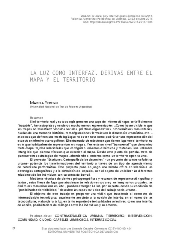
| dc.description.abstract | [ES] Si el territorio real y su topología generan una capa de información que sería fácilmente “trazable”, hay autopistas y senderos mucho menos representables. ¿Cómo hacer visible lo que los mapas no muestran? Vínculos sociales, prácticas organizativas, problemáticas comunitarias, huellas de una memoria histórica, reconfiguraciones formales en la dimensión urbanística, etc. – aspectos que definen una morfología que no es tan neta como podría ser una representación del espacio en términos cartográficos. El entramado de relaciones que tienen lugar en el territorio no es lo que habitualmente representan los mapas. Y es este un nivel “transversal” que denomino meta-mapa: tejidos relacionales que configuran universos dinámicos y mutables, una urdimbre intangible que plantea vínculos que exceden al mapa. Desde este punto de partida, trato de plantear otras estrategias de mapeo, abordando el entorno como un territorio open-source. El proyecto “Escrituras, Cartografía de los devenires” –un proyecto de contra-señalética urbana- potencia los transformaciones del territorio a través de un tipo de agenciamiento de naturaleza performática. Este proyecto pone en juego una mirada crítica en relación a las estrategias cartográficas y a la definición del espacio, con el objeto de visibilizar las diferentes relaciones de los individuos con su contexto barrial. Mediante técnicas de derivas psicogeográficas y recursos de representación gráfica y textual, estas líneas de fuga que atraviesan las relaciones sociales, los imaginarios grupales, las dinámicas comunicacionales, etc.., pueden emerger. La luz, por su parte, desde su condición de “posibilitador de visibilidad,” descubre las capas invisibles del paisaje socio-urbano. El objetivo de este trabajo es proponer una visión que trascienda el concepto de intermediación tecnológica, usualmente asociado a la noción de interfaz en el marco de las tecnoculturas, y abordar a la luz, en tanto soporte de textualidades colectivas, como una interfaz de acción, posibilitadora de diálogos entre los individuos y su entorno. | es_ES |
| dc.format.extent | 10 | es_ES |
| dc.language | Español | es_ES |
| dc.publisher | Editorial Universitat Politècnica de València | es_ES |
| dc.relation.ispartof | Actas Segundo Congreso Internacional Arte Ciencia Ciudad ACC2015 | es_ES |
| dc.rights | Reconocimiento - No comercial - Sin obra derivada (by-nc-nd) | es_ES |
| dc.subject | Arte | es_ES |
| dc.subject | Ciencia | es_ES |
| dc.subject | Ciudad | es_ES |
| dc.subject | Visualidad | es_ES |
| dc.subject | Energía | es_ES |
| dc.subject | Conectividad | es_ES |
| dc.subject | Luz | es_ES |
| dc.subject | Oscuridad | es_ES |
| dc.title | LA LUZ COMO INTERFAZ. DERIVAS ENTRE EL MAPA Y EL TERRITORIO | es_ES |
| dc.type | Capítulo de libro | es_ES |
| dc.type | Comunicación en congreso | es_ES |
| dc.rights.accessRights | Abierto | es_ES |
| dc.description.bibliographicCitation | Yeregui, M. (2015). LA LUZ COMO INTERFAZ. DERIVAS ENTRE EL MAPA Y EL TERRITORIO. En Actas Segundo Congreso Internacional Arte Ciencia Ciudad ACC2015. Editorial Universitat Politècnica de València. 17-26. http://hdl.handle.net/10251/84884 | es_ES |
| dc.description.accrualMethod | OCS | es_ES |
| dc.relation.conferencename | 2º Congreso Internacional ACC: Arte, Ciencia, Ciudad | es_ES |
| dc.relation.conferencedate | October 22-23,2015 | es_ES |
| dc.relation.conferenceplace | Valencia, Spain | es_ES |
| dc.relation.publisherversion | http://ocs.editorial.upv.es/index.php/ASC/ASC15/paper/view/2015 | es_ES |
| dc.description.upvformatpinicio | 17 | es_ES |
| dc.description.upvformatpfin | 26 | es_ES |
| dc.type.version | info:eu-repo/semantics/publishedVersion | es_ES |
| dc.relation.pasarela | OCS\2015 | es_ES |


