


Listar por palabra clave "Cartography"
RiuNet: Repositorio Institucional de la Universidad Politécnica de Valencia
- RiuNet repositorio UPV
- :
- Listar por palabra clave
JavaScript is disabled for your browser. Some features of this site may not work without it.
Buscar en RiuNet
Listar
Mi cuenta
Ayuda RiuNet
Admin. UPV
Listar por palabra clave "Cartography"
Mostrando ítems 61-80 de 96
-
 Land subsidence analysis caused by aquifer overexploitation using GEP tools: A-DInSAR on the cloud Bru, Guadalupe; Ezquerro, Pablo; Guardiola-Albert, Carolina; Béjar-Pizarro, Marta; Herrera, Gerardo; Tomás, Roberto; Navarro-Hernández, María; López-Sanchez, Juan; Ören, Ali; Çaylak, Barış; Elçi, Alper; Shatanawi, Khaldoun; Mohammad, Alsharifa; Abu Hajar, Husam; Bonì, Roberta; Meisina, Claudia (Editorial Universitat Politècnica de València, 2021-10-01)[EN] Groundwater is a vitally important resource for humans. One of the main problems derived from the overexploitation of aquifers is land subsidence, which in turn carries other associated natural risks. Advanced ...
 -
 López Martínez, Irene (Editorial Universitat Politècnica de València, 2017-10-23)[EN] The aim of the essay analyze Matadero Memorial Aural project launched by Sound Readers as an example of the recent phenomenon of artistic initiatives that want to bring together the creation and researching whose ...
 -
 Martínez Llario, José Carlos; Ruiz López, Francisco; Coll Aliaga, Eloína (Elsevier: Creative Commons Attribution Non-Commercial No-Derivatives License, 2012-04)[EN] Along this article we are going to explain how to create a new spatial database applying a wide spectrum data model using open source software and free tools, so that every interested user will be able to apply BTA ...
 -
 Zid, Ferdous; Vigo, Isabel; García, David (Editorial Universitat Politècnica de València, 2021-10-01)[EN] In this work, we provide an updated geodetic approach to the Mediterranean Surface Geostrophic circulation based on satellite data. We follow same methodology as in a previous approach by Vigo et al. (2018), but here ...
 -
 Navarro, José; Barra, Anna; Monserrat, Oriol; Crosetto, Michele (Editorial Universitat Politècnica de València, 2021-10-01)[EN] The PSIG software chain, which has been producing terrain displacement maps for one and a half decades now, has been entirely developed by the members of the Geomatics Division of the Centre Tecnològic de Telecomunicacions ...
 -
 Sánchez, Jaime (Editorial Universitat Politècnica de València, 2021-10-01)[EN] DInSAR technology provides high density of information about the temporal ground and infrastructure deformation rate with millimetre precision and without the need of ground instrumentation. DInSAR analyses the ...
 -
 Torralba, Jesús; Ruiz, Luis; Georgiadis, Charalampos; Patias, Petros; Gómez-Conejo, Rodrigo; Verde, Natalia; Tassapoulou, Maria; Bezares Sanfelip, Fernando; Grommy, Ewa; Aleksandrowicz, Sebastian; Krätzschmar, Elke; Krupiński, Michał; Carbonell-Rivera, Juan (Editorial Universitat Politècnica de València, 2021-10-01)[EN] The concept of marginal land (ML) is dynamic and depends on various factors related to the environment, climate, scale, culture, and economic sector. The current methods for identifying ML are diverse, they employ ...
 -
 Fredes, Sandra; Ruiz Fernández, Luis Ángel; Recio Recio, Jorge Abel (Editorial Universitat Politècnica de València, 2021-10-01)[EN] In order to monitor the ripeness and composition of wine grape berries and establish an optimal harvest date, the determination of °Brix and pH is vital. This research includes the study of two wine grapes harvests ...
 -
 Vargas, Wilson; Femenia, Carmen (Editorial Universitat Politècnica de València, 2021-10-01)[EN] Bogotá, the capital of Colombia, is the first most congested city in the world after Bucharest and New York. In Bogotá there are several applications (Apps) that allow the user to plan their trip in each of the ...
 -
 Arcos, María; Balaguer-Beser, Ángel; Ruiz, Luis (Editorial Universitat Politècnica de València, 2021-10-01)[EN] The water content of the vegetation affects the flammability of the vegetation and fire behavior. A standard measure of this parameter is the live fuel moisture content (LFMC), calculated as the percentage of humidity ...
 -
 Ruiz-Armenteros, Antonio; Delgado-Blasco, José; Bakon, Matus; Lazecky, Milan; Marchamalo-Sacristán, Miguel; Lamas-Fernández, Francisco; Ruiz-Constán, Ana; Galindo-Zaldívar, Jesús; Sanz de Galdeano, Carlos; Martos-Rosillo, Sergio; Papco, Juraj; Perissin, Daniele; Sousa, Joaquim (Editorial Universitat Politècnica de València, 2021-10-01)[EN] Synthetic Aperture Radar Interferometry (InSAR) is a remote sensing technique very effective for the measure of smalldisplacements of the Earth’s surface over large areas at a very low cost as compared with conventional ...
 -
 Sanz Beneyto, Jose Juan (Universitat Politècnica de València, 2022-09-19)[ES] En un momento de saturación icónica y sobreabundancia de imágenes, el trabajo aborda desde planteamientos postfotográficos un recorrido virtual por el mundo-imagen que representa la plataforma de geonavegación Google ...
 -
 Santamaría-Peña, Jacinto; Palacios-Ruiz, Elena; Santamaría-Palacios, Teresa (Editorial Universitat Politècnica de València, 2021-10-01)[EN] The use of medium/high-density LIDAR (Light Detection And Ranging) data for land modelling and DTM (Digital Terrain Model) is becoming more widespread. This level of detail is difficult to achieve with other means ...
 -
 Barrera Fernández, Daniel (Universitat Politècnica de València, 2012-03-04)La presente comunicación se centra en la aplicación de recursos informáticos de reciente desarrollo a la investigación sobre la ciudad. El trabajo del que forma parte tiene por objetivo identificar los elementos que componen ...
 -
 Sierra Hurtado, Marc (Universitat Politècnica de València, 2023-12-27)[ES] El proyecto consiste en la descripción y ejecución de las tareas necesarias para la obtención de la cartografía del yacimiento arqueológico de Los Millares. La metodología que se ha seguido se compone de la captura ...
 -
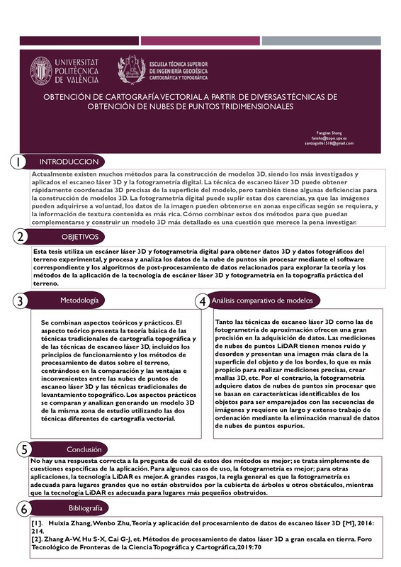 Shang, Fangjian (Universitat Politècnica de València, 2021-10-07)[ES] La tecnología de escaneo láser 3D puede obtener rápidamente coordenadas 3D precisas de la superficie delmodelo, pero también tiene algunas deficiencias para la construcción de modelos 3D. En primer lugar, la información ...
 -
 Vera, Norberto; Quintanilla, Israel; Vidal, Jordi; Fernández, Beatriz (Editorial Universitat Politècnica de València, 2021-10-01)[EN] Potential civil applications of Unmanned Aircraft Systems (UAS), commonly known as drones, have risen steeply during the last decade, mainly due to their versatility and capability of spatial data gathering. Nonetheless, ...
 -
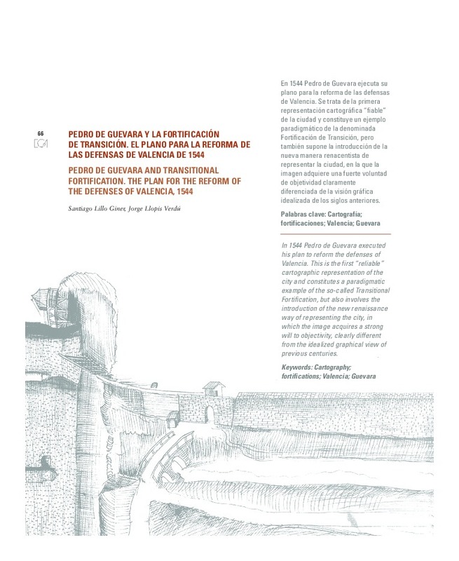 Lillo Giner, Santiago; Llopis Verdú, Jorge (Editorial Universitat Politècnica de València, 2012)[EN] In 1544 Pedro de Guevara executed his plan to reform the defenses of Valencia. This is the first "reliable" cartographic representation of the city and constitutes a paradigmatic example of the so-called Transitional ...
 -
 Coll Aliaga, Eloína; Ruiz López, Francisco; Martínez Llario, José Carlos (Elsevier: Creative Commons Attribution Non-Commercial No-Derivatives License, 2012-04)[EN] This is a small outline about the processes (steps, meetings, agreements, analysis, etc.) which are necessary to elaborate a new data model designed and developed to satisfy the needs of Spanish Local Administrations ...
 -
 Angás, Jorge; Uribe, Paula; Bea, Manuel; Farjas, Mercedes; Ariño, Enrique; Martinez-Ferreras, Veronica; Gurt, Josep (Editorial Universitat Politècnica de València, 2021-10-01)[EN] This paper presents a preliminary use of satellite imagery from the CORONA program in the reconstruction of the archaeological landscape of two different sites: Ancient Termez (southern border of Uzbekistan) and Khatm ...
Mostrando ítems 61-80 de 96

Universitat Politècnica de València. Unidad de Documentación Científica de la Biblioteca (+34) 96 387 70 85 · RiuNet@bib.upv.es
El contenido de este sitio está bajo una licencia Creative Commons Reconocimiento – No Comercial – Sin Obra Derivada (by-nc-nd), salvo que se indique lo contrario.
Los metadatos de este sitio están bajo una licencia Dominio Público.
