JavaScript is disabled for your browser. Some features of this site may not work without it.
Buscar en RiuNet
Listar
Mi cuenta
Estadísticas
Ayuda RiuNet
Admin. UPV
Graphic resources for the GIS positioning and analysis of 20th-century fortification: bunkers in the vicinity of the rock of Gibraltar
Mostrar el registro completo del ítem
Atanasio Guisado, A.; Arévalo Rodríguez, F.; Molina Rozalem, JF. (2020). Graphic resources for the GIS positioning and analysis of 20th-century fortification: bunkers in the vicinity of the rock of Gibraltar. EGA Expresión Gráfica Arquitectónica. 25(40):134-145. https://doi.org/10.4995/ega.2020.13698
Por favor, use este identificador para citar o enlazar este ítem: http://hdl.handle.net/10251/159408
Ficheros en el ítem
Metadatos del ítem
| Título: | Graphic resources for the GIS positioning and analysis of 20th-century fortification: bunkers in the vicinity of the rock of Gibraltar | |
| Otro titulo: |
|
|
| Autor: | Arévalo Rodríguez, Federico Molina Rozalem, Juan Francisco | |
| Fecha difusión: |
|
|
| Resumen: |
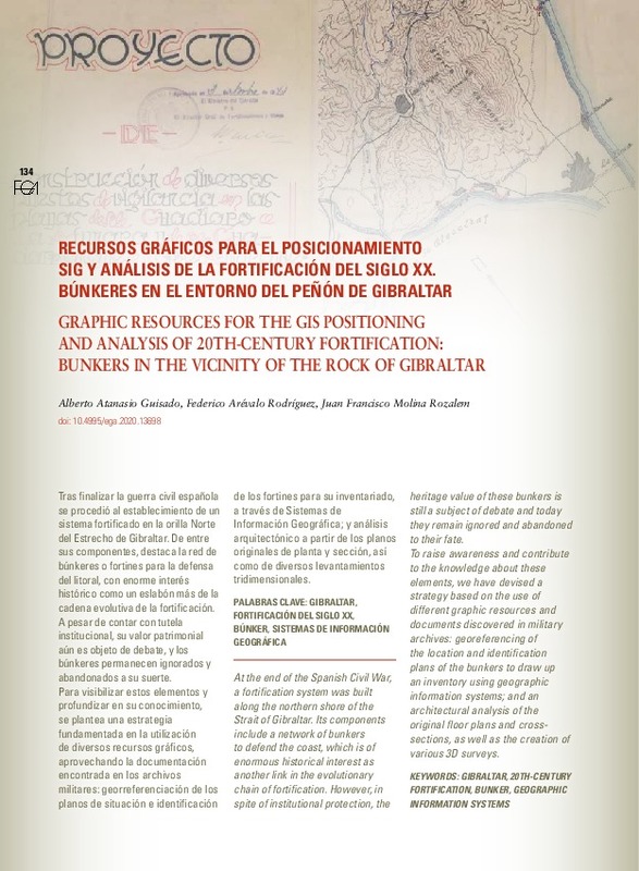
[EN] At the end of the Spanish Civil War, a fortification system was built along the northern shore of the Strait of Gibraltar. Its components include a network of bunkers to defend the coast, which is of enormous historical ...[+]
[ES] Tras finalizar la guerra civil española se procedió al establecimiento de un sistema fortificado en la orilla Norte del Estrecho de Gibraltar. De entre sus componentes, destaca la red de búnkeres o fortines para la ...[+]
|
|
| Palabras clave: |
|
|
| Derechos de uso: | Reconocimiento - No comercial - Sin obra derivada (by-nc-nd) | |
| Fuente: |
|
|
| DOI: |
|
|
| Editorial: |
|
|
| Versión del editor: | https://doi.org/10.4995/ega.2020.13698 | |
| Código del Proyecto: |
|
|
| Agradecimientos: |
|
|
| Tipo: |
|


