JavaScript is disabled for your browser. Some features of this site may not work without it.
Buscar en RiuNet
Listar
Mi cuenta
Estadísticas
Ayuda RiuNet
Admin. UPV
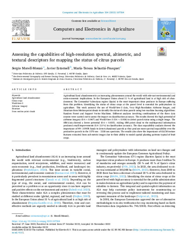
Assessing the capabilities of high-resolution spectral, altimetric, and textural descriptors for mapping the status of citrus parcels
Mostrar el registro completo del ítem
Morell-Monzó, S.; Estornell Cremades, J.; Sebastiá-Frasquet, M. (2023). Assessing the capabilities of high-resolution spectral, altimetric, and textural descriptors for mapping the status of citrus parcels. Computers and Electronics in Agriculture. 204:1-11. https://doi.org/10.1016/j.compag.2022.107504
Por favor, use este identificador para citar o enlazar este ítem: http://hdl.handle.net/10251/200850
Ficheros en el ítem
Metadatos del ítem
| Título: | Assessing the capabilities of high-resolution spectral, altimetric, and textural descriptors for mapping the status of citrus parcels | |
| Autor: | ||
| Entidad UPV: |
|
|
| Fecha difusión: |
|
|
| Resumen: |
[EN] Agricultural land abandonment is an increasing phenomenon around the world with relevant environmental and socio-economic implications. In the European Union about 11 % of agricultural land is at high risk of abandonment. ...[+]
|
|
| Palabras clave: |
|
|
| Derechos de uso: | Reconocimiento - No comercial - Sin obra derivada (by-nc-nd) | |
| Fuente: |
|
|
| DOI: |
|
|
| Editorial: |
|
|
| Versión del editor: | https://doi.org/10.1016/j.compag.2022.107504 | |
| Código del Proyecto: |
|
|
| Agradecimientos: |
|
|
| Tipo: |
|


