JavaScript is disabled for your browser. Some features of this site may not work without it.
Buscar en RiuNet
Listar
Mi cuenta
Estadísticas
Ayuda RiuNet
Admin. UPV
Espacio geográfico, topografía, cartografía y planificación
Mostrar el registro sencillo del ítem
Ficheros en el ítem
| dc.contributor.author | Maza Vázquez, Francisco
|
es_ES |
| dc.date.accessioned | 2017-01-04T08:34:13Z | |
| dc.date.available | 2017-01-04T08:34:13Z | |
| dc.date.issued | 2015-06-22 | |
| dc.identifier.issn | 1133-6137 | |
| dc.identifier.uri | http://hdl.handle.net/10251/76309 | |
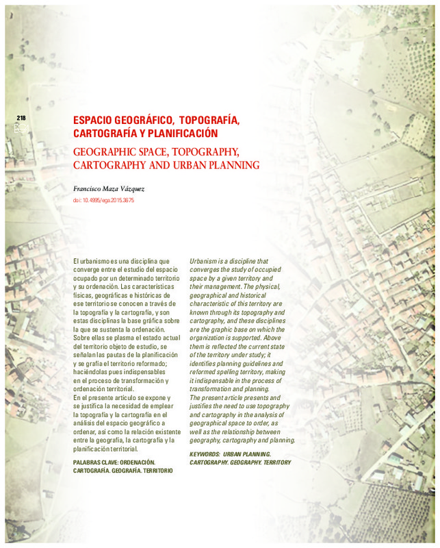
| dc.description.abstract | [EN] Urbanism is a discipline that converges the study of occupied space by a given territory and their management. The physical, geographical and historical characteristic of this territory are known through its topography and cartography, and these disciplines are the graphic base on which the organization is supported. Above them is reflected the current state of the territory under study; it identifies planning guidelines and reformed spelling territory, making it indispensable in the process of transformation and planning.The present article presents and justifies the need to use topography and cartography in the analysis of geographical space to order, as well as the relationship between geography, cartography and planning. | es_ES |
| dc.description.abstract | [ES] El urbanismo es una disciplina que converge entre el estudio del espacio ocupado por un determinado territorio y su ordenación. Las características físicas, geográficas e históricas de ese territorio se conocen a través de la topografía y la cartografía, y son estas disciplinas la base gráfica sobre la que se sustenta la ordenación. Sobre ellas se plasma el estado actual del territorio objeto de estudio, se señalan las pautas de la planificación y se grafía el territorio reformado; haciéndolas pues indispensables en el proceso de transformación y ordenación territorial.En el presente artículo se expone y se justifica la necesidad de emplear la topografía y la cartografía en el análisis del espacio geográfico a ordenar, así como la relación existente entre la geografía, la cartografía y la planificación territorial | es_ES |
| dc.language | Español | es_ES |
| dc.language | Inglés | es_ES |
| dc.publisher | Universitat Politècnica de València | |
| dc.relation.ispartof | EGA. Revista de Expresión Gráfica Arquitectónica | |
| dc.rights | Reserva de todos los derechos | es_ES |
| dc.subject | Topography | es_ES |
| dc.subject | Geography | es_ES |
| dc.subject | Cartography | es_ES |
| dc.subject | Urban planning | es_ES |
| dc.subject | Ordenación urbana | es_ES |
| dc.subject | Cartografía | es_ES |
| dc.subject | Geografía | es_ES |
| dc.subject | Territorio | es_ES |
| dc.subject | Topografía | es_ES |
| dc.title | Espacio geográfico, topografía, cartografía y planificación | es_ES |
| dc.title.alternative | GEOGRAPHIC SPACE, TOPOGRAPHY, CARTOGRAPHY AND URBAN PLANNING | es_ES |
| dc.type | Artículo | es_ES |
| dc.date.updated | 2017-01-03T11:21:23Z | |
| dc.identifier.doi | 10.4995/ega.2015.3675 | |
| dc.rights.accessRights | Abierto | es_ES |
| dc.description.bibliographicCitation | Maza Vázquez, F. (2015). Espacio geográfico, topografía, cartografía y planificación. EGA. Revista de Expresión Gráfica Arquitectónica. 20(25):218-227. https://doi.org/10.4995/ega.2015.3675 | es_ES |
| dc.description.accrualMethod | SWORD | es_ES |
| dc.relation.publisherversion | https://doi.org/10.4995/ega.2015.3675 | es_ES |
| dc.description.upvformatpinicio | 218 | es_ES |
| dc.description.upvformatpfin | 227 | es_ES |
| dc.type.version | info:eu-repo/semantics/publishedVersion | es_ES |
| dc.description.volume | 20 | |
| dc.description.issue | 25 | |
| dc.identifier.eissn | 2254-6103 | |
| dc.description.references | Arocha, J. L., 1978, Fundamentals of Cartography. Caracas. JOLAR author editions. Fourth Edition. | es_ES |
| dc.description.references | Bunge, W., 1962. Theoretical Geography. Lund. C.W.K. Gleerup, Publishers. Second Edition. 290 pp, 1973. First Edition. | es_ES |
| dc.description.references | Chías Navarro, P., 2009. "The historical maps in the study of the construction of territory and landscape. Maps and drawings of civil lawsuits in the late Middle Ages and the Renaissance.". EGA. Journal of Architectural Graphic Expression, vol. 14, p. 50-59. | es_ES |
| dc.description.references | Cuenin, R., 1972. Cartographie générale. Paris. Editions Enrolles. Tome 1: Notions générales et d'élaborations. 324 pp. Take 2: Méthodes et techniques of production, pp 208. | es_ES |
| dc.description.references | Harvey, D., 1983, Theories, laws and models in geography, Alianza Editorial. Madrid. | es_ES |
| dc.description.references | Joly, F., 1979. Cartography. Editorial Ariel. Barcelona. | es_ES |
| dc.description.references | Maza Vazquez, F., 2008. Evolution of Guadalajara as spatial mapping. Edit: Board of Culture of the City of Guadalajara, 2008. | es_ES |
| dc.description.references | Rimbert, S., 1968. Deletions of thematic mapping, SEDES, Paris., 139 pp. | es_ES |
| dc.description.references | Robinson, A.H .; Sale, R.D .; Morrison, J. L. and Muehrcke, Ph.C., 1987. Elements of Cartography. Barcelona. Omega. | es_ES |
| dc.description.references | Salitschev, K. A., 1983. Cartographic Communication: A Theoretical Survey. Progress in Contemporay Cartography, Volume 2 Wiley, pp 11-35. | es_ES |
| dc.description.references | Wooldridge, SW., 1957. Meaning and Purpose of Geography. Buenos Aires. Editorial Mora, 1957. | es_ES |


