JavaScript is disabled for your browser. Some features of this site may not work without it.
Buscar en RiuNet
Listar
Mi cuenta
Estadísticas
Ayuda RiuNet
Admin. UPV
Study of the NDVI with multi-scale and time-series analysis using SPOT imagery during the period 1998-2012 in Uruguay
Mostrar el registro sencillo del ítem
Ficheros en el ítem
| dc.contributor.author | Ceroni, M.
|
es_ES |
| dc.contributor.author | Achkar, M.
|
es_ES |
| dc.contributor.author | Gazzano, I.
|
es_ES |
| dc.contributor.author | Burgeño, J.
|
es_ES |
| dc.coverage.spatial | east=-55.76583500000004; north=-32.522779; name= Uruguai | |
| dc.date.accessioned | 2017-05-04T10:22:10Z | |
| dc.date.available | 2017-05-04T10:22:10Z | |
| dc.date.issued | 2015-06-26 | |
| dc.identifier.issn | 1133-0953 | |
| dc.identifier.uri | http://hdl.handle.net/10251/80565 | |
| dc.description | Revista oficial de la Asociación Española de Teledetección | |
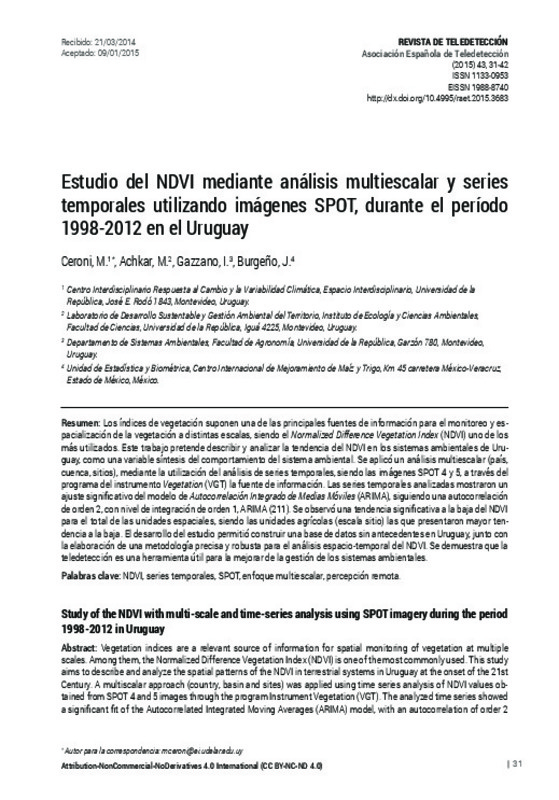
| dc.description.abstract | [EN] Vegetation indices are a relevant source of information for spatial monitoring of vegetation at multiple scales. Among them, the Normalized Difference Vegetation Index (NDVI) is one of the most commonly used. This study aims to describe and analyze the spatial patterns of the NDVI in terrestrial systems in Uruguay at the onset of the 21st Century. A multiscalar approach (country, basin and sites) was applied using time series analysis of NDVI values obtained from SPOT 4 and 5 images through the program Instrument Vegetation (VGT). The analyzed time series showed a significant fit of the Autocorrelated Integrated Moving Averages (ARIMA) model, with an autocorrelation of order 2 and a level of integration of order 1, ARIMA (211). A significant decline of the NDVI over all spatial units was found, with agricultural units (site scale) showing the most negative slope. This study provides baseline data on changes in vegetation productivity for Uruguay, and develops an accurate and robust methodology for spatio-temporal analysis of NDVI series. Remote sensing techniques are shown to be relevant to improve the management of environmental systems. | es_ES |
| dc.description.abstract | [ES] Los índices de vegetación suponen una de las principales fuentes de información para el monitoreo y es-pacialización de la vegetación a distintas escalas, siendo el Normalized Difference Vegetation Index (NDVI) uno de los más utilizados. Este trabajo pretende describir y analizar la tendencia del NDVI en los sistemas ambientales de Uru-guay, como una variable síntesis del comportamiento del sistema ambiental. Se aplicó un análisis multiescalar (país, cuenca, sitios), mediante la utilización del análisis de series temporales, siendo las imágenes SPOT 4 y 5, a través del programa del instrumento Vegetation (VGT) la fuente de información. Las series temporales analizadas mostraron un ajuste significativo del modelo de Autocorrelación Integrado de Medias Móviles (ARIMA), siguiendo una autocorrelación de orden 2, con nivel de integración de orden 1, ARIMA (211). Se observó una tendencia significativa a la baja del NDVI para el total de las unidades espaciales, siendo las unidades agrícolas (escala sitio) las que presentaron mayor ten-dencia a la baja. El desarrollo del estudio permitió construir una base de datos sin antecedentes en Uruguay, junto con la elaboración de una metodología precisa y robusta para el análisis espacio-temporal del NDVI. Se demuestra que la teledetección es una herramienta útil para la mejorar de la gestión de los sistemas ambientales | es_ES |
| dc.description.sponsorship | El desarrollo de este trabajo fue realizado bajo el apoyo del Espacio Interdisciplinario (EI) y la Comisión Sectorial de Investigación Científica (CSIC) de la Universidad de la República. | |
| dc.language | Español | es_ES |
| dc.publisher | Universitat Politècnica de València | |
| dc.relation.ispartof | Revista de Teledetección | |
| dc.rights | Reconocimiento - No comercial - Sin obra derivada (by-nc-nd) | es_ES |
| dc.subject | NVDI | es_ES |
| dc.subject | Series temporales | es_ES |
| dc.subject | SPOT | es_ES |
| dc.subject | Enfoque multiescalar | es_ES |
| dc.subject | Percepción remota | es_ES |
| dc.subject | Time series | es_ES |
| dc.subject | Multi-scalar approach | es_ES |
| dc.subject | Remote sensing | es_ES |
| dc.title | Study of the NDVI with multi-scale and time-series analysis using SPOT imagery during the period 1998-2012 in Uruguay | es_ES |
| dc.title.alternative | Estudio del NDVI mediante análisis multiescalar y series temporales utilizando imágenes SPOT, durante el período 1998-2012 en el Uruguay | es_ES |
| dc.type | Artículo | es_ES |
| dc.date.updated | 2017-05-04T09:25:49Z | |
| dc.identifier.doi | 10.4995/raet.2015.3683 | |
| dc.rights.accessRights | Abierto | es_ES |
| dc.description.bibliographicCitation | Ceroni, M.; Achkar, M.; Gazzano, I.; Burgeño, J. (2015). Study of the NDVI with multi-scale and time-series analysis using SPOT imagery during the period 1998-2012 in Uruguay. Revista de Teledetección. (43):31-42. https://doi.org/10.4995/raet.2015.3683 | es_ES |
| dc.description.accrualMethod | SWORD | es_ES |
| dc.relation.publisherversion | https://doi.org/10.4995/raet.2015.3683 | es_ES |
| dc.description.upvformatpinicio | 31 | es_ES |
| dc.description.upvformatpfin | 42 | es_ES |
| dc.type.version | info:eu-repo/semantics/publishedVersion | es_ES |
| dc.description.issue | 43 | |
| dc.identifier.eissn | 1988-8740 | |
| dc.contributor.funder | Comisión Sectorial de Investigación Científica, Uruguay |


