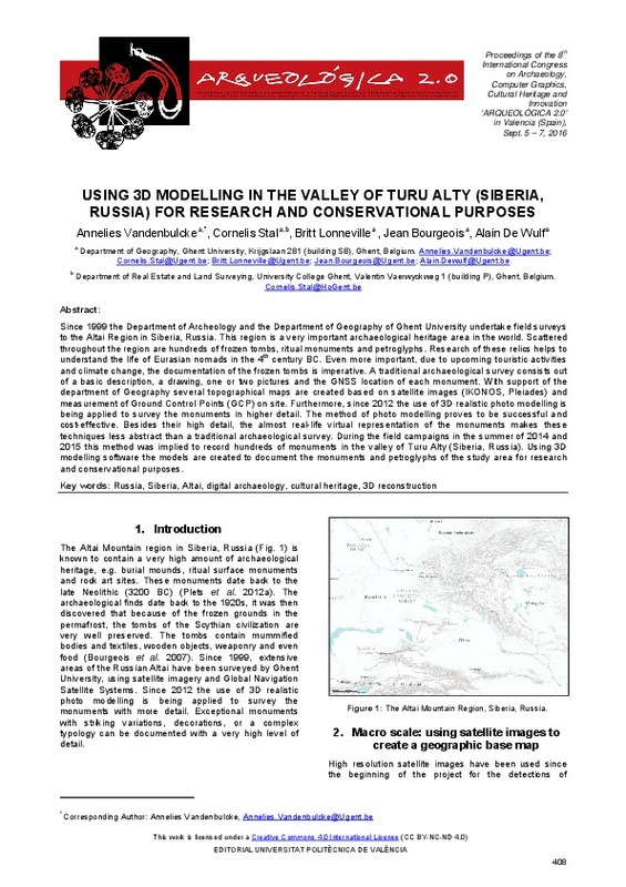
Vandenbulcke, A.; Stal, C.; Lonneville, B.; Bourgeois, J.; De Wulf, A. (2016). Using 3D modelling in the Valley or Turu Alty (Siberia, Russia) for research and conservational purposes. En 8th International congress on archaeology, computer graphics, cultural heritage and innovation. Editorial Universitat Politècnica de València. 408-411. https://doi.org/10.4995/arqueologica8.2015.3787
Por favor, use este identificador para citar o enlazar este ítem: http://hdl.handle.net/10251/85635
|
Título:
|
Using 3D modelling in the Valley or Turu Alty (Siberia, Russia) for research and conservational purposes
|
|
Autor:
|
Vandenbulcke, Annelies
Stal, Cornelis
Lonneville, Britt
Bourgeois, Jean
De Wulf, Alain
|
|
Fecha difusión:
|
|
|
Resumen:
|
[EN] Since 1999 the Department of Archeology and the Department of Geography of Ghent University undertake field surveys
to the Altai Region in Siberia, Russia. This region is a very important archaeological heritage area ...[+]
[EN] Since 1999 the Department of Archeology and the Department of Geography of Ghent University undertake field surveys
to the Altai Region in Siberia, Russia. This region is a very important archaeological heritage area in the world. Scattered
throughout the region are hundreds of frozen tombs, ritual monuments and petroglyphs. Research of these relics helps to
understand the life of Eurasian nomads in the 4th century BC. Even more important, due to upcoming touristic activities
and climate change, the documentation of the frozen tombs is imperative. A traditional archaeological survey consists out
of a basic description, a drawing, one or two pictures and the GNSS location of each monument. With support of the
department of Geography several topographical maps are created based on satellite images (IKONOS, Pleiades) and
measurement of Ground Control Points (GCP) on site. Furthermore, since 2012 the use of 3D realistic photo modelling is
being applied to survey the monuments in higher detail. The method of photo modelling proves to be successful and
cost-effective. Besides their high detail, the almost real-life virtual representation of the monuments makes these
techniques less abstract than a traditional archaeological survey. During the field campaigns in the summer of 2014 and
2015 this method was implied to record hundreds of monuments in the valley of Turu Alty (Siberia, Russia). Using 3D
modelling software the models are created to document the monuments and petroglyphs of the study area for research
and conservational purposes.
[-]
|
|
Palabras clave:
|
Data acquisition
,
Photogrammetry
,
Remote sensing
,
Documentation
,
Cultural heritage
,
Digitisation
,
3D modelling
,
Virtual archaeology
,
Virtual museums
,
Virtual exhibitions
,
Gaming
,
Collaborative environments
,
Internet technology
,
Social media
,
Architecture
|
|
Derechos de uso:
|
Reconocimiento - No comercial - Sin obra derivada (by-nc-nd)
|
|
ISBN:
|
9788490484555
|
|
Fuente:
|
8th International congress on archaeology, computer graphics, cultural heritage and innovation.
|
|
DOI:
|
10.4995/arqueologica8.2015.3787
|
|
Editorial:
|
Editorial Universitat Politècnica de València
|
|
Versión del editor:
|
http://ocs.editorial.upv.es/index.php/arqueologica20/arqueologica8/paper/view/3787
|
|
Título del congreso:
|
ARQUEOLÓGICA 2.0 - 8th International Congress on Archaeology, Computer Graphics, Cultural Heritage and Innovation
|
|
Lugar del congreso:
|
Valencia, Spain
|
|
Fecha congreso:
|
September 05-07,2016
|
|
Tipo:
|
Capítulo de libro
Comunicación en congreso
|


