


Listar por palabra clave "Landsat"
RiuNet: Repositorio Institucional de la Universidad Politécnica de Valencia
- RiuNet repositorio UPV
- :
- Listar por palabra clave
JavaScript is disabled for your browser. Some features of this site may not work without it.
Buscar en RiuNet
Listar
Mi cuenta
Ayuda RiuNet
Admin. UPV
Listar por palabra clave "Landsat"
Mostrando ítems 1-20 de 27
-
 Pauca-Tanco, A.; Ramos-Mamani, C.; Luque-Fernández, C. R.; Talavera-Delgado, C.; Villasante-Benavides, J. F.; Quispe-Turpo, J. P.; Villegas-Paredes, L. (Universitat Politècnica de València, 2020-06-23)[ES] Los humedales altoandinos son considerados ecosistemas frágiles que proporcionan servicios ecosistémicos para el mantenimiento de la biodiversidad y economía andina, sin embargo, actualmente la amenaza global del ...
 -
 Azzouzi, Soufiane Abdelaziz; Vidal Pantaleoni, Ana; Bentounes, Hadj Adda (Institute of Electrical and Electronics Engineers, 2017)[EN] Desertification is one of the most important problems driven by global climatic change. There are many factors that contribute to the environmental degradation of the Sahara desert surroundings. The first one is related ...
 -
 Correas Naranjo, Luis (Universitat Politècnica de València, 2023-09-05)[ES] El seguimiento y monitorización de la línea de costa a lo largo del tiempo ha sido un factor determinante para el desarrollo social y económico de la zona costera. El cambio climático, entre otros factores, ha provocado ...
 -
 Pons, X.; Sevillano, E.; Moré, G.; Serra, P.; Cornford, D.; Ninyerola, M. (Universitat Politècnica de València, 2014-12-16)[EN] When combining remote sensing imagery with statistical classifiers to obtain categorical thematic maps it is not usual to provide data about the spatial distribution of the error and uncertainty of the resulting maps. ...
 -
 Guillem-Cogollos, R.; Vinué-Visús, D.; Caselles-Miralles, V.; Espinós-Morató, H. (Universitat Politècnica de València, 2017-12-05)[EN] To determine the area burned by fire and its associated severity related to this forest fire taken place in Sierra de Luna (Zaragoza), on July 4th, 2015, three spectral indices derived from Landsat-8 imagery have been ...
 -
 Zambrano Mosquera, Andrés Felipe (Universitat Politècnica de València, 2021-10-05)[ES] Debido a factores naturales y a aquellos provocados por los seres humanos, la superficie forestal de la Provincia de Valencia ha sufrido una gran afectación a causa de incendios forestales a lo largo del tiempo. La ...
 -
 Pardo Pascual, Josep Eliseu; Palomar-Vázquez, Jesús; Cabezas-Rabadán, Carlos (Universitat de València, 2022)[ES] Las playas son espacios de suma importancia ecosistémica y socioeconómica, en numerosas ocasiones amenazados por procesos erosivos que ponen en riesgo su sostenibilidad. Este es el caso de la costa valenciana, en la ...
 -
 Pinto Santos, Pablo (Universitat Politècnica de València, 2016-09-27)[ES] El objetivo de este trabajo se centra en el estudio y análisis del entorno costero mediante las líneas de costa extraídas en diferentes fechas y por diferentes técnicas como las imágenes de satélite LANDSAT o SENTINEL, ...
 -
 Zaraza-Aguilera, M.A.; Manrique-Chacón, L.M. (Universitat Politècnica de València, 2019-12-23)[ES] Actualmente, se han implementado nuevas herramientas para la fusión de imágenes de alta resolución temporal y espacial y para la detección de cambios de coberturas. Con el fin de evaluar este tipo de técnicas se generó ...
 -
 Valencia, G. M.; Anaya, J. A.; Caro-Lopera, F. J. (Universitat Politècnica de València, 2016-06-27)[EN] This paper analyzes the reflectance obtained with a series of Landsat images processed with LEDAPS model in a region of the Colombian Andes. A total of 38 images of TM and ETM sensors were calibrated to surface ...
 -
 Peña, M. A; Ulloa, J. (Universitat Politècnica de València, 2017-12-26)[EN] This study analyzed the state of recovery of the burnt vegetation in the National Park of Torres del Paine between December, 2011 and March, 2012. The calculation and comparison of the NVDI (normalized difference ...
 -
 Cisneros-Vaca, César; Calahorrano, Julia; Abarca, María; Manzano, Mery (Universitat Politècnica de València, 2023-07-28)[EN] A semi-automatic methodology was implemented for the delimitation of burning areas in the province of Chimborazo in Ecuador, during the period 2018-2021, by using the database of forest fires provided by the Amazonia ...
 -
 Alarcón Ruiz, Almudena (Universitat Politècnica de València, 2021-02-01)[ES] En el presente trabajo se aborda el análisis del efecto “isla de calor”en las grandes ciudades. En concreto, se centraliza el problema en la ciudad de Valencia mediante el análisis de la temperatura superficial de ...
 -
 Cabezas-Rabadán, Carlos; Pardo Pascual, Josep Eliseu; Almonacid-Caballer, Jaime; Palomar-Vázquez, Jesús; Fernández-Sarría, Alfonso (Buletin Asociacion Geografos Espanoles, 2019)[EN] Large-scale and continuous monitoring of morphological changes on beaches is of great interest for coastal management. Shoreline positions were extracted with the system SHOREX on multiple dates on three beaches of ...
 -
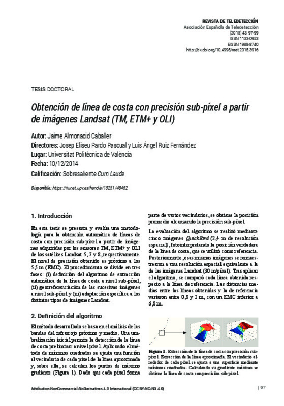 Almonacid-Caballer, J. (Universitat Politècnica de València, 2015-06-26)[EN] This thesis presents and evaluate a methodology for automatic extraction of shorelines with sub-pixel precision from Landsat 5, 7 and 8 images acquired by sensors TM, ETM+ and OLI, respectively
 -
 Almonacid Caballer, Jaime (Universitat Politècnica de València, 2015-03-30)En esta tesis se presenta un método y una serie de herramientas informáticas para obtener automáticamente la posición de líneas de costa partiendo de imágenes registradas por los satélites Landsat (5,7 y 8) con un nivel ...
 -
 Gómez, C.; Alejandro, P.; Montes, F. (Universitat Politècnica de València, 2020-06-23)[EN] The Spanish Central Range hosts some of the southernmost populations of Fagus sylvatica L. (European beech). Recent cartography indicates that these populations are expanding, going up-streams and gaining ground to ...
 -
 Pla, M.; Duane, A.; Brotons, L. (Universitat Politècnica de València, 2017-12-05)[EN] Mapping fire severity is determinant to understand landscape evolution after a wildfire and provides useful information for decision making during post fire management. Quantitative fire severity mapping from relative ...
 -
 Estornell, Javier; Martí-Gavliá, Jesus M.; Sebastiá, M. Teresa; Mengual, Jesus (Universitat Politècnica de València, 2013-06-02)[EN] The main objective of this article was to show an application of principal component analysis (PCA) which is used in two science degrees. Particularly, PCA analysis was used to obtain information of the land cover ...
 -
 Diéguez López, Alejandro (Universitat Politècnica de València, 2023-09-06)[ES] En los últimos tiempos, debido a la afección del cambio climático y a otros procesos antrópicos, muchas zonas costeras del planeta están sufriendo cambios continuos que provocan variaciones constantes en las líneas ...
Mostrando ítems 1-20 de 27

Universitat Politècnica de València. Unidad de Documentación Científica de la Biblioteca (+34) 96 387 70 85 · RiuNet@bib.upv.es
El contenido de este sitio está bajo una licencia Creative Commons Reconocimiento – No Comercial – Sin Obra Derivada (by-nc-nd), salvo que se indique lo contrario.
Los metadatos de este sitio están bajo una licencia Dominio Público.
