
Listar por palabra clave "Photogrammetry"
RiuNet: Repositorio Institucional de la Universidad Politécnica de Valencia
- RiuNet repositorio UPV
- :
- Listar por palabra clave
JavaScript is disabled for your browser. Some features of this site may not work without it.
Buscar en RiuNet
Listar
Mi cuenta
Ayuda RiuNet
Admin. UPV
Listar por palabra clave "Photogrammetry"
Mostrando ítems 1-20 de 250
-
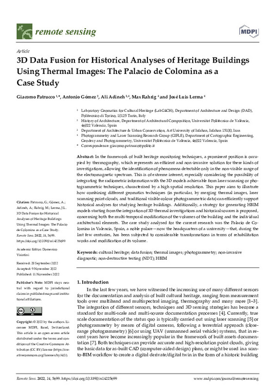
Patrucco, Giacomo; Gómez Gil, Antonio Miguel; Adineh, Ali; Rahrig, Max; Lerma, José Luis (MDPI AG, 2022-11)[EN] In the framework of built heritage monitoring techniques, a prominent position is occu- pied by thermography, which represents an efficient and non-invasive solution for these kinds of investigations, allowing the ...
-
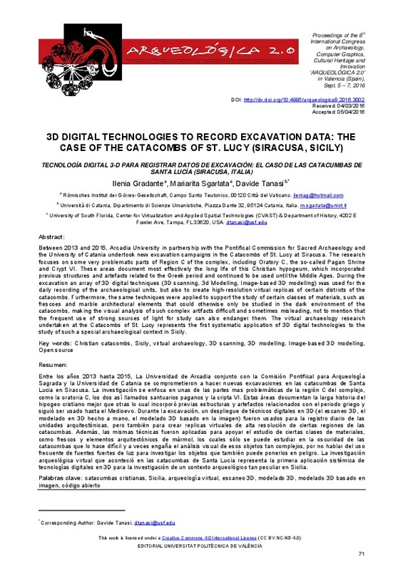
Gradante, Ilenia; Sgarlata, Mariarita; Tanasi, Davide (Editorial Universitat Politècnica de València, 2016-10-27)[EN] Between 2013 and 2015, Arcadia University in partnership with the Pontifical Commission for Sacred Archaeology and the University of Catania undertook new excavation campaigns in the Catacombs of St. Lucy at Siracusa. ...
-
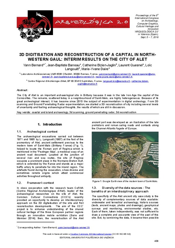
Bernard, Yann; Barreau, Jean-Baptiste; Bizien-Jaglin, Catherine; Quesnel, Laurent; Langouët, Loïc; Daire, Marie-Yvane (Editorial Universitat Politècnica de València, 2016-10-27)[EN] The City of Alet is an important archaeological site in Brittany because it was in the late Iron Age the capital of the Coriosolites. The remains, scattered today in a neighbourhood of Saint-Malo, are highly heterogeneous. ...
-
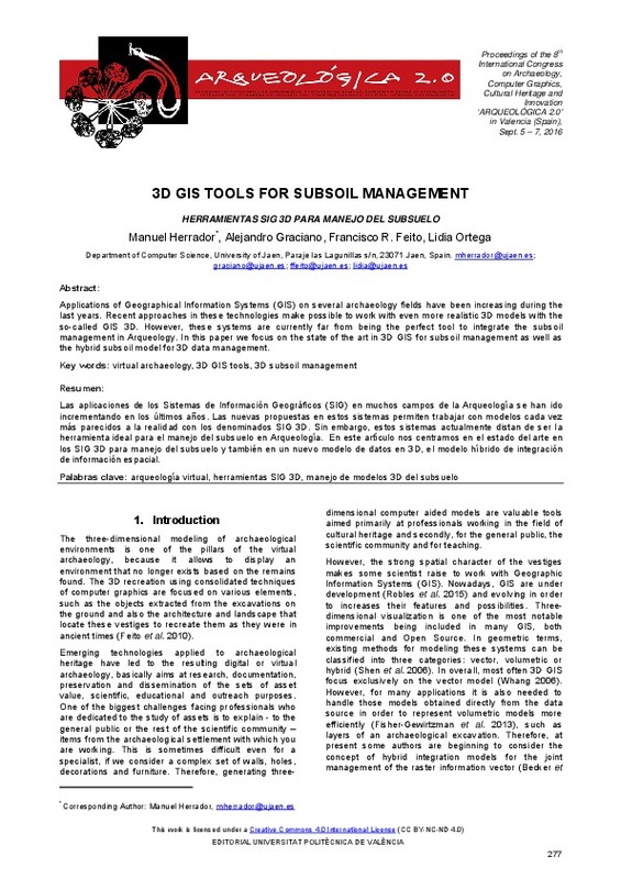
Herrador, Manuel; Graciano, Alejandro; Feito, Francisco Ramón; Ortega, Lidia (Editorial Universitat Politècnica de València, 2016-10-27)[EN] Applications of Geographical Information Systems (GIS) on several archaeology fields have been increasing during the last years. Recent approaches in these technologies make possible to work with even more realistic ...
-
Percoco, Gianluca; Sánchez Salmerón, Antonio José (Springer Verlag (Germany), 2017-05)[EN] In this report, the authors give a contribution to the study of the influence of inaccuracy of the shape and the position of calibration targets, on the accuracy of Photogrammetry in digitizing micro-features. In a ...
-
Bonacini, Elisa; Gullì, Domenica; Tanasi, Davide (Editorial Universitat Politècnica de València, 2016-10-27)[EN] This paper presents a work in progress carried out by the authors with the students of three high schools of Agrigento (Sicily, Italy) for the promotion of the cultural heritage of the city of Realmonte, near Agrigento. ...
-
Farella, Elisa; Menna, Fabio; Remondino, Fabio; Campi, Massimiliano (Editorial Universitat Politècnica de València, 2016-10-27)[EN] A large amount of 3D digital models, acquired with reality-based techniques or modelled with CAAD methods, are today part of archaeological studies. This new form of heritage documentation has deeply changed the ...
-
Chiabrando, Filiberto; D'Andria, Francesco; Sammartano, Giulia; Spanò, Antonia (Editorial Universitat Politècnica de València, 2016-10-27)[EN] In areas of archaeological excavation with architectural complexes, the generation of 3D data and their spatial information updating can now benefit from UAV photogrammetry. This technique shows a very rapid development ...
-
Iovane, Domenico; Cera, Valeria (Editorial Universitat Politècnica de València, 2016-10-27)[EN] Survey in Archaeology is aimed to represent, map and model the existent. The reality based modern techniques allow to acquire a large amount of geometric, colorimetric and volumetric informations on which deepen ...
-
Fiorillo, Fausta; Jiménez Fernández-Palacios, Belén; Remondino, Fabio; Barba, Salvatore (Universitat Politècnica de València, 2015-05-20)[EN] The intention of this interdisciplinary work is the integration of different 3D recording techniques and instruments to survey the archaeological area of Paestum (Italy) and obtain digital models of the main structures ...
-
Manzetti, Maria Cristina (Editorial Universitat Politècnica de València, 2016-10-27)[EN] Correct interpretation of lost monuments is something really craved from an archaeological point of view but most of the time it is also very hard to obtain. In recent years, Virtual Archaeology and 3D modelling are ...
-
Vassilakis, Emmanuel; Konsolaki, Aliki; Petrakis, Stelios; Kotsi, Evangelia; Filis, Christos; Lozios, Stelios; Lekkas, Efthymios (Editorial Universitat Politècnica de València, 2023-01-27)[EN] The coastal area of Myrtos beach, is a very popular Natura protected area at the Northern part of Cephalonia Island, in W. Greece, which suffered severe damages during the Medicane named after “Ianos”, that affected ...
-
Valera Fernández, Ángel; Benimeli Andreu, Francisco Javier; Solaz Sanahuja, José Salvador; De Rosario Martínez, Helios; Robertsson, Anders; Nilsson ., Klass; Zotovic Stanisic, Ranko; Mellado Arteche, Martín (Institute of Electrical and Electronics Engineers (IEEE), 2011-04)For the last years, automation is widely used to relieve humans from repetitive tasks, primarily and firstly within manufacturing. However, for products with less ideal (or hard to model) properties, and when forces depends ...
-
Fita, José Luis; Besuievsky, Gonzalo; Patow, Gustavo A. (Editorial Universitat Politècnica de València, 2016-10-27)[EN] We introduce a study focused on procedural modeling papers that use methods of structural analysis, especially in its application to historic buildings such as churches and cathedrals. Moreover, we have taken a ...
-
Lianos, Nikolaos; Anastasios, Anastasios (Editorial Universitat Politècnica de València, 2016-10-27)[EN] Facing the need for effective and efficient integration of spatial and descriptive information related to the documentation of the cultural heritage, the primary aim of this project is the production of a dynamic ...
-
Gómez González, Raúl (Universitat Politècnica de València, 2023-11-02)[ES] La visión por computador es una de las ramas de la tecnología y la ciencia que mayor crecimiento ha experimentado durante las últimas décadas. Nuevos descubrimientos en otras áreas como las redes neuronales o la ...
-
Molina, Juana; Jordá, Jesús F. (Editorial Universitat Politècnica de València, 2016-10-27)[EN] With the firm conviction that current Archaeology needs to use all the tools that computer science provides, we have developed a project of mechanization and structuring of all the information gathered from the ...
-
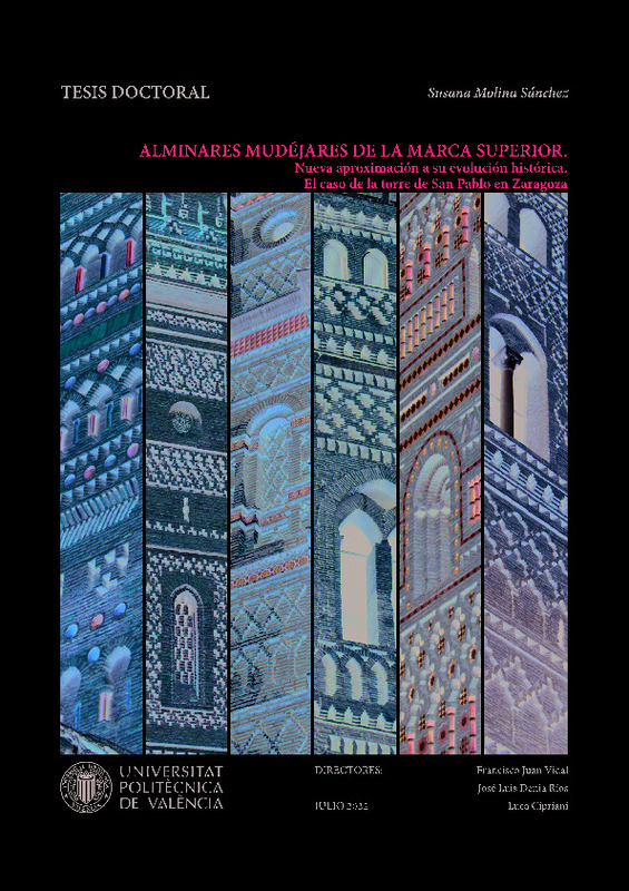
Molina Sánchez, Susana (Universitat Politècnica de València, 2022-10-13)[ES] Los ocho siglos de dominio de la cultura islámica en la Península Ibérica motivaron la proliferación de un extenso patrimonio cultural, arquitectónico y artístico. En este contexto, nació el arte mudéjar como una ...
-
Liu, Junshan; Willkens, Danielle S.; Foreman, Graham (Universitat Politècnica de València, 2022-06-30)[EN] Heritage Building Information Modelling (or HBIM) is a multi-disciplinary process and a promising tool for the management and documentation of heritage structures. HBIM can record the significant historic events that ...
-
Barbero García, Inés; Lerma García, José Luis; Marqués Mateu, Ángel; Miranda, Pablo (Editorial Universitat Politècnica de València, 2017-10-23)[EN] Cranial deformation affects a large number of infants. The methodologies commonly employed to measure the deformation include, among others, calliper measurements and visual assessment for mild cases and radiologic ...
Mostrando ítems 1-20 de 250

Universitat Politècnica de València. Unidad de Documentación Científica de la Biblioteca (+34) 96 387 70 85 · RiuNet@bib.upv.es


