
Listar por Entidad UPV "Universitat Politècnica de València. Departamento de Ingeniería Cartográfica Geodesia y Fotogrametría - Departament d'Enginyeria Cartogràfica, Geodèsia i Fotogrametria"
RiuNet: Repositorio Institucional de la Universidad Politécnica de Valencia
- RiuNet repositorio UPV
- :
- Listar por Entidad UPV
JavaScript is disabled for your browser. Some features of this site may not work without it.
Buscar en RiuNet
Listar
Mi cuenta
Ayuda RiuNet
Admin. UPV
Listar por Entidad UPV "Universitat Politècnica de València. Departamento de Ingeniería Cartográfica Geodesia y Fotogrametría - Departament d'Enginyeria Cartogràfica, Geodèsia i Fotogrametria"
Mostrando ítems 1-20 de 1182
-
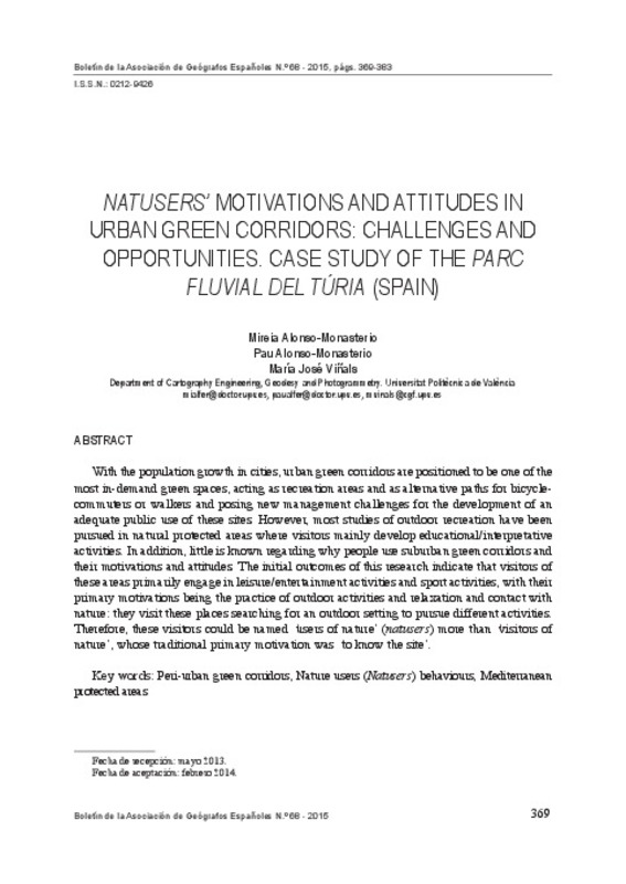
Alonso Monasterio Fernández, Mireia Llibertat; Alonso-Monasterio Fernández, Pau; Viñals Blasco, Mª José (Asociación de Geógrafos Españoles (AGE), 2015)[EN] With the population growth in cities, urban green corridors are positioned to be one of the most in-demand green spaces, acting as recreation areas and as alternative paths for bicycle-commuters or walkers and posing ...
-
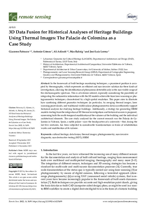
Patrucco, Giacomo; Gómez Gil, Antonio Miguel; Adineh, Ali; Rahrig, Max; Lerma, José Luis (MDPI AG, 2022-11)[EN] In the framework of built heritage monitoring techniques, a prominent position is occu- pied by thermography, which represents an efficient and non-invasive solution for these kinds of investigations, allowing the ...
-
Herráez Boquera, José; Martínez Llario, José Carlos; Coll-Aliaga, Eloína; Martín Sánchez, María Teresa; Rodríguez Pereña, Jaime (Elsevier, 2016-06)[EN] The knowledge of the 3D geometry for reverse engineering studies is based on images and/or distances. The use of scanner laser has replaced the photogrammetry in the last decade, due to its easy handling and intensive ...
-
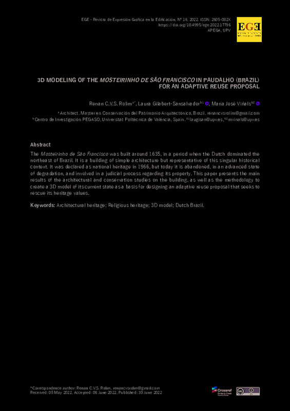
Rolim, Renan C.V.S.; Gilabert-Sansalvador, Laura; Viñals, María José (Universitat Politècnica de València, 2022-06-30)[EN] The Mosteirinho de São Francisco was built around 1635, in a period when the Dutch dominated the northeast of Brazil. It is a building of simple architecture but representative of this singular historical context. It ...
-
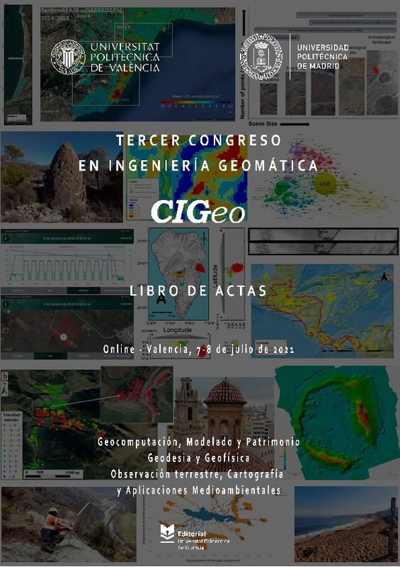
Martín Furones, Ángel Esteban (Editorial Universitat Politècnica de València, 2021-10-14)The Congress in Geomatics Engineering aims to bring together scientists, academics and PhD students to exchange and share their results of research and innovation related to any Geomatics discipline. It offers a first-class ...
-
García-Asenjo Villamayor, Luis; Lerma García, José Luis (Editorial Universitat Politècnica de València, 2023-01-31)The JISDM 2022 is organized by the Universitat Politècnica de València, Spain and endorsed by the three leading scientific and professional organizations in the field: the International Federation of Surveyors (FIG),the ...
-
Lerma García, José Luis (Editorial Universitat Politècnica de València, 2016-10-27)El lema del Congreso es: 'Documentación 3D avanzada, modelado y reconstrucción de objetos patrimoniales, monumentos y sitios.Invitamos a investigadores, profesores, arqueólogos, arquitectos, ingenieros, historiadores de ...
-
Baselga Moreno, Sergio (Akademiai Kiado Zrt., 2020-03)[EN] Ionospheric anomalies have been shown to occur a few days before several large earthquakes. The published works normally address examples limited in time (a single event or few of them) or space (a particular geographic ...
-
Ordonez, Celestino; Arias, Pedro; Herráez Boquera, José; Rodriguez, Jaime; Martin, María T. (Wiley: 12 months, 2008)The dimensions of building façades and window apertures are usually determined by making direct measurements using tapes and plummets. This approach, however, has a number of drawbacks including the physical risk to which ...
-
Valls Ayuso, Ana; García García, Francisco; Ramírez Blanco, Manuel Jesús; Benlloch Marco, Javier (Institute of Electrical and Electronics Engineers (IEEE), 2015-08-27)This paper describes the combined use of ground penetrating radar (GPR) data with historical archives performed in the silo-yard of Valencia (Spain) to identify and map various pavement construction periods. The Valencian ...
-
Crespo-Peremarch, Pablo; Fournier, Richard A.; Nguyen, Van-Tho; van Lier, Olivier R.; Ruiz Fernández, Luis Ángel (Elsevier, 2020-10-01)[EN] Laser scanning has the potential to accurately detect the vertical distribution of forest vegetative components. However, limitations are present and vary according to the system's platform (i.e., terrestrial or ...
-
Martín Furones, Ángel Esteban; Nuñez Andrés, M.A.; Gili, J.A.; Anquela Julián, Ana Belén (Elsevier, 2011-10)Doñana National Park is a protected area of approximately 500 km2 located on the SW coast of Spain with singular and interesting ecological and geological features. A gravimetric survey is presented where L&R gravity ...
-
Ruiz Fernández, Luis Ángel; Recio Recio, Jorge Abel; Fernández-Sarría, Alfonso; Hermosilla, T. (Elsevier, 2011-05-01)A software application for automatic descriptive feature extraction from image-objects, FETEX 2.0, is presented and described in this paper. The input data include a multispectral high resolution digital image and a vector ...
-
Crespo-Peremarch, Pablo; Ruiz Fernández, Luis Ángel (MDPI AG, 2020-01)[EN] In the last decade, full-waveform airborne laser scanning (ALSFW) has proven to be a promising tool for forestry applications. Compared to traditional discrete airborne laser scanning (ALSD), it is capable of registering ...
-
Molada-Tebar, Adolfo; Riutort-Mayol, Gabriel; Marqués-Mateu, Ángel; Lerma, José Luis (MDPI AG, 2019-11)[EN] In this paper, we propose a novel approach to undertake the colorimetric camera characterization procedure based on a Gaussian process (GP). GPs are powerful and flexible nonparametric models for multivariate nonlinear ...
-
Cambra López, María; Hermosilla Gómez, Txomin; Aarnink, André Johannes Antonius; Ogink, Nico (Elsevier, 2012-02)[EN] Intensive poultry and pig houses are major point sources of particulate matter (PM) emissions. The knowledge on the contribution of individual sources to PM in different fractions is essential to improve PM reduction ...
-
Sánchez-García, Elena; Balaguer-Beser, Ángel; Almonacid-Caballer, Jaime; Pardo Pascual, Josep Eliseu (MDPI AG, 2019-08-12)[EN] This paper presents a new methodological process for detecting the instantaneous land-water border at sub-pixel level from mid-resolution satellite images (30 m/pixel) that are freely available worldwide. The new ...
-
Portalés Ricart, Cristina; Alonso-Monasterio Fernández, Pau; Viñals Blasco, Mª José (Editorial Universitat Politècnica de València, 2016-10-27)[EN] In recent decades, the 3D virtual reconstructions and visualizations of archaeological sites have been commonly used by scientists to better understand the missing structures. They have also been considered as an ...
-
Balsa Barreiro, José; Lerma García, José Luis (Taylor & Francis: STM, Behavioural Science and Public Health Titles, 2014-02)The distribution of the discrete-return point density in airborne lidar flights obtained from an oscillating mirror laser scanner is analysed and alternative formulations to determine its value are presented. The point ...
-
Villar-Cano, Miriam; Jiménez-Martínez, Mª Jesús; Marqués-Mateu, Ángel (MDPI AG, 2019)[EN] The use of geographic data from early maps is a common approach to understanding urban geography as well as to study the evolution of cities over time. The specific goal of this paper is to provide a means for the ...
Mostrando ítems 1-20 de 1182

Universitat Politècnica de València. Unidad de Documentación Científica de la Biblioteca (+34) 96 387 70 85 · RiuNet@bib.upv.es


