


Listar por autor "Ruiz Fernández, Luis Ángel"
RiuNet: Repositorio Institucional de la Universidad Politécnica de Valencia
- RiuNet repositorio UPV
- :
- Listar por autor
JavaScript is disabled for your browser. Some features of this site may not work without it.
Buscar en RiuNet
Listar
Mi cuenta
Ayuda RiuNet
Admin. UPV
Listar por autor "Ruiz Fernández, Luis Ángel"
Mostrando ítems 1-20 de 103
-
 Crespo-Peremarch, Pablo; Fournier, Richard A.; Nguyen, Van-Tho; van Lier, Olivier R.; Ruiz Fernández, Luis Ángel (Elsevier, 2020-10-01)[EN] Laser scanning has the potential to accurately detect the vertical distribution of forest vegetative components. However, limitations are present and vary according to the system's platform (i.e., terrestrial or ...
 -
 Ruiz Fernández, Luis Ángel; Recio Recio, Jorge Abel; Fernández-Sarría, Alfonso; Hermosilla, T. (Elsevier, 2011-05-01)A software application for automatic descriptive feature extraction from image-objects, FETEX 2.0, is presented and described in this paper. The input data include a multispectral high resolution digital image and a vector ...
 -
 Crespo-Peremarch, Pablo; Ruiz Fernández, Luis Ángel (MDPI AG, 2020-01)[EN] In the last decade, full-waveform airborne laser scanning (ALSFW) has proven to be a promising tool for forestry applications. Compared to traditional discrete airborne laser scanning (ALSD), it is capable of registering ...
 -
 Carbonell-Rivera, Juan Pedro; Estornell, Javier; Ruiz, Luis; Abad, Alfonso; Felten, Bettina; Torralba, Jesús (Editorial Universitat Politècnica de València, 2021-10-01)[EN] In recent years, Remote Sensing (RS) and its derived products have been used as a key tool for the detection, monitoring, management and future use of Marginal Lands (ML). Currently, there is no single, universally ...
 -
 Ruiz Fernández, Luis Ángel; Recio Recio, Jorge Abel; Crespo-Peremarch, Pablo; Sapena, Marta (Taylor & Francis, 2018)[EN] Mapping forest structure variables provides important information for the estimation of forest biomass, carbon stocks, pasture suitability or for wildfire risk prevention and control. The optimization of the prediction ...
 -
 Sapena Moll, Marta; Ruiz Fernández, Luis Ángel (Elsevier, 2019-01)[EN] Promoting sustainable urbanization and limiting land consumption is a local and regional priority policy target in Europe. Monitoring and quantifying urban growth supports decision-making processes for the prevention ...
 -
 Hermosilla, T.; Díaz Manso, J.M.; Ruiz Fernández, Luis Ángel; Recio Recio, Jorge Abel; Fernández-Sarría, Alfonso; Ferradáns Nogueira, P (Springer Verlag (Germany), 2012-12)[EN] The abandonment of agricultural plots entails a low economic productivity of the land and a higher vulnerability to wildfires and degradation of affected areas. In this sense, the local government of Galicia is promoting ...
 -
 Mauro, Francisco; Monleón, V. J.; Temesgen, H.; Ruiz Fernández, Luis Ángel (Canadian Science Publishing, 2017)[EN] Accounting for spatial correlation of LiDAR model errors can improve the precision of model-based estimators. To estimate spatial correlation, sample designs that provide close observations are needed, but their ...
 -
 Estornell Cremades, Javier; Ruiz Fernández, Luis Ángel; Velázquez Martí, Borja; Hermosilla, T. (Taylor & Francis: STM, Behavioural Science and Public Health Titles, 2011)[EN] The creation of a quality Digital Terrain Model (DTM) is essential for representing and analyzing the Earth in a digital form. The continuous improvements in the acquisition and the potential of airborne Light Detection ...
 -
 Ruiz Fernández, Luis Ángel; Hermosilla, T.; Mauro, Francisco; Godino, Miguel (MDPI AG, Basel, Switzerland, 2014)This paper assesses the combined effect of field plot size and LiDAR density on the estimation of four forest structure attributes: volume, total biomass, basal area and canopy cover. A total of 21 different plot sizes ...
 -
 Arcos-Villacís, María Alicia; Edo-Botella, Roberto; Balaguer-Beser, Ángel; Ruiz Fernández, Luis Ángel (MDPI AG, 2023-07)[EN] This paper presents empirical models developed through stepwise multiple linear regression to estimate the live fuel moisture content (LFMC) in a Mediterranean area. The models are based on LFMC data measured in 50 ...
 -
 Sapena Moll, Marta; Ruiz Fernández, Luis Ángel; Taubenböck, Hannes (MDPI AG, 2020-07-11)[EN] Manifold socio-economic processes shape the built and natural elements in urban areas. They thus influence both the living environment of urban dwellers and sustainability in many dimensions. Monitoring the development ...
 -
 Crespo-Peremarch, Pablo; Ruiz Fernández, Luis Ángel; Balaguer-Beser, Ángel; Estornell Cremades, Javier (Elsevier, 2018)[EN] LiDAR full-waveform (LFW) pulse density is not homogeneous along study areas due to overlap between contiguous flight stripes and, to a lesser extent, variations in height, velocity and altitude of the platform. As a ...
 -
 Torralba, Jesús; Carbonell-Rivera, Juan Pedro; Ruiz Fernández, Luis Ángel; Crespo-Peremarch, Pablo (MDPI AG, 2022-12)[EN] In recent decades, the feasibility of using terrestrial laser scanning (TLS) in forest inventories was investigated as a replacement for time-consuming traditional field measurements. However, the optimal acquisition ...
 -
 Soriano Belda, Inmaculada (Universitat Politècnica de València, 2017-10-02)[ES] La calidad ambiental en las áreas urbanas es un aspecto cada vez más relevante que requiere de un seguimiento de su evolución. La caracterización tipológica de áreas urbanas en función del número, área y distribución ...
 -
 Ruiz Fernández, Luis Ángel (Universitat Politècnica de València, 2013-07-04)Fundamentos del método de análisis de componentes principales orientado al análisis de imágenes multiespectrales. Aplicaciones más relevantes en teledetección.
 -
 Estornell Cremades, Javier (Universitat Politècnica de València, 2011-09-12)Los objetivos de esta investigación han sido adaptar un algoritmo basado en procesos iterativos de búsqueda de elevaciones mínimas a partir de datos LiDAR para el cálculo de un MDE en zonas de montaña mediterránea, y ...
 -
 Ruiz Fernández, Luis Ángel (Universitat Politècnica de València, 2016-07-28)Los métodos de clasificación de imágenes multiespectrales se basan normalmente en la asignación de un valor temático (clase) a cada píxel a partir de sus valores de intensidad en las diferentes bandas espectrales. Sin ...
 -
 Crespo Peremarch, Pablo (Universitat Politècnica de València, 2015-06-17)[EN] This project tries to improve the land cover classification of aerial images using data mining. A comparison of some data mining techniques is done so as to classify urban and peri-urban areas, using the image ...
 -
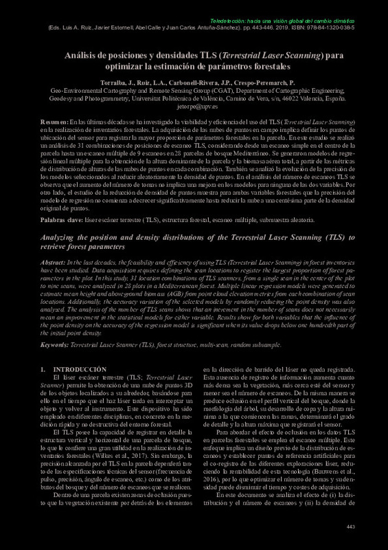 Torralba, Jesús; Ruiz Fernández, Luis Ángel; Carbonell-Rivera, Juan Pedro; Crespo Peremarch, Pablo (Ediciones Universidad de Valladolid, 2019-09-27)[EN] In the last decades, the feasibility and efficiency of using TLS (Terrestrial Laser Scanning) in forest inventories have been studied. Data acquisition requires defining the scan locations to register the largest ...
Mostrando ítems 1-20 de 103

Universitat Politècnica de València. Unidad de Documentación Científica de la Biblioteca (+34) 96 387 70 85 · RiuNet@bib.upv.es
El contenido de este sitio está bajo una licencia Creative Commons Reconocimiento – No Comercial – Sin Obra Derivada (by-nc-nd), salvo que se indique lo contrario.
Los metadatos de este sitio están bajo una licencia Dominio Público.
