
Listar por Entidad UPV "Universitat Politècnica de València. Escuela Técnica Superior de Ingeniería Geodésica, Cartográfica y Topográfica - Escola Tècnica Superior d'Enginyeria Geodèsica, Cartogràfica i Topogràfica"
RiuNet: Repositorio Institucional de la Universidad Politécnica de Valencia
- RiuNet repositorio UPV
- :
- Listar por Entidad UPV
JavaScript is disabled for your browser. Some features of this site may not work without it.
Buscar en RiuNet
Listar
Mi cuenta
Ayuda RiuNet
Admin. UPV
Listar por Entidad UPV "Universitat Politècnica de València. Escuela Técnica Superior de Ingeniería Geodésica, Cartográfica y Topográfica - Escola Tècnica Superior d'Enginyeria Geodèsica, Cartogràfica i Topogràfica"
Mostrando ítems 1-20 de 983
-
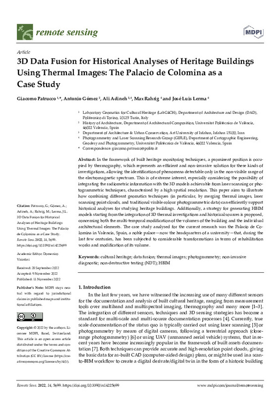
Patrucco, Giacomo; Gómez Gil, Antonio Miguel; Adineh, Ali; Rahrig, Max; Lerma, José Luis (MDPI AG, 2022-11)[EN] In the framework of built heritage monitoring techniques, a prominent position is occu- pied by thermography, which represents an efficient and non-invasive solution for these kinds of investigations, allowing the ...
-
Martín Furones, Ángel Esteban (Editorial Universitat Politècnica de València, 2021-10-14)The Congress in Geomatics Engineering aims to bring together scientists, academics and PhD students to exchange and share their results of research and innovation related to any Geomatics discipline. It offers a first-class ...
-
García-Asenjo Villamayor, Luis; Lerma García, José Luis (Editorial Universitat Politècnica de València, 2023-01-31)The JISDM 2022 is organized by the Universitat Politècnica de València, Spain and endorsed by the three leading scientific and professional organizations in the field: the International Federation of Surveyors (FIG),the ...
-
Lerma García, José Luis (Editorial Universitat Politècnica de València, 2016-10-27)El lema del Congreso es: 'Documentación 3D avanzada, modelado y reconstrucción de objetos patrimoniales, monumentos y sitios.Invitamos a investigadores, profesores, arqueólogos, arquitectos, ingenieros, historiadores de ...
-
Carrió Pastor, Mª Luisa; Tamarit Vallés, Inmaculada Teresa (Elsevier, 2015-04)In this paper we analyse the motivation of students when they are taught a foreign language using different methodologies. We took into account that motivation may be defined as the various purposes that are part of the ...
-
Sailema-Palate, G. Patricia; Vidaurre Garayo, Ana Jesús; Campillo Fernández, Alberto José; Castilla Cortázar, María Isabel Cecilia (Elsevier, 2016-08)The present paper studies the effect of pH on hydrolytic degradation of Poly(ε-aprolactone) (PCL) Degradation of the films was performed at 37 C in 2.5 M NaOH solution (pH 13) and 2.5 M HCl solution (pH 1). Weight ...
-
Carrió Pastor, Mª Luisa (Universidad de Las Palmas de Gran Canaria, 2012)This paper investigates the use of epistemic expressions in scientific English. The main aim of this research is to analyse if native speakers of English use epistemic modality in the same way than non-native speakers ...
-
Carrió Pastor, Mª Luisa; Muñiz Calderón, Rut (Elsevier, 2015-02)Metadiscourse is usually studied in terms of a cross-cultural exploration of interpersonality, mainly in academic English, but we believe that this approach could be applied to other genres. The main purpose of this study ...
-
Carrió Pastor, Mª Luisa (Elsevier, 2013-09)This paper focuses on the variation of sentence connectors in academic English and, more specifically, on the issue of whether language use can change depending on the linguistic background of the writer. This study takes ...
-
Skorczynska Sznajder, Hanna Teresa; Carrió-Pastor, María Luisa (SciELO Comision Nacional de Investigacion Cientifica Y Tecnologica, 2021-08)[ES] Resumen El presente estudio analiza las variaciones de las frecuencias y las funciones pragmáticas de los marcadores metadiscursivos conocidos como intensificadores, y en particular de sus formas verbales. Se recopilaron ...
-
Bayarri, Vicente; Prada, Alfredo; García García, Francisco (MDPI AG, 2023-11)[EN] Integrating geomatics remote sensing technologies, including 3D terrestrial laser scanning, unmanned aerial vehicles, and ground penetrating radar enables the generation of comprehensive 2D, 2.5D, and 3D documentation ...
-
Bayarri, Vicente; Prada, Alfredo; García García, Francisco; De Las Heras, Carmen; Fatás, Pilar (MDPI AG, 2024-01)[EN] This paper addresses the conservation problems of the cave of Altamira, a UNESCO World Heritage Site in Santillana del Mar, Cantabria, Spain, due to the effects of moisture and water inside the cave. The study focuses ...
-
Riquelme Madrona, Julio; Ortigosa, Nuria; Magal Royo, Teresa; Morillas, Samuel; Peris Fajarnes, Guillermo (2011)[EN] Occupancy grid maps have been widely used in robotics for navigation assistance. Most of the current occupancy maps use grids based on Cartesian coordinates. In this paper, we introduce a new approach to occupancy map ...
-
Fuster García, Elíes; Romero García, Vicente; Sánchez Pérez, Juan Vicente; García Raffi, Luis Miguel; Sánchez Pérez, Enrique Alfonso (Acoustical Society of America, 2006-08)[EN] A phenomenological model that simulates the acoustic attenuation behavior of sonic crystals is developed in this paper. The input of the model is a set of parameters that characterizes each experimental setup, and ...
-
Villar-Cano, Miriam; Jiménez-Martínez, Mª Jesús; Marqués-Mateu, Ángel (MDPI AG, 2019)[EN] The use of geographic data from early maps is a common approach to understanding urban geography as well as to study the evolution of cities over time. The specific goal of this paper is to provide a means for the ...
-
Carrió Pastor, Mª Luisa; Mestre-Mestre, Eva M. (Asociación Española de Lingüística de Corpus / Spanish Association for Corpus Linguistics, 2013)Errors should be viewed as a key feature of language learning and language use. In this paper, we focus on the identification and classification of errors that are related to students grammar acquisition and pragmatic ...
-
Carbonell-Rivera, Juan Pedro; Estornell, Javier; Ruiz, Luis; Abad, Alfonso; Felten, Bettina; Torralba, Jesús (Editorial Universitat Politècnica de València, 2021-10-01)[EN] In recent years, Remote Sensing (RS) and its derived products have been used as a key tool for the detection, monitoring, management and future use of Marginal Lands (ML). Currently, there is no single, universally ...
-
Blasco, Xavier; Reynoso Meza, Gilberto; Sánchez Pérez, Enrique Alfonso; Sánchez Pérez, Juan Vicente; Jonard Pérez, Natalia (MDPI AG, 2021-05-28)[EN] Including designer preferences in every phase of the resolution of a multi-objective optimization problem is a fundamental issue to achieve a good quality in the final solution. To consider preferences, the proposal ...
-
Navarro Tarin, Santiago; Lerma García, José Luis (Elsevier, 2016-11)[EN] Image-based mapping solutions require accurate exterior orientation parameters independently of the cameras used for a survey. This paper analyses the inclusion of up to two stereo-based geometric constraints in the ...
-
Pinedo Reyes, Joaquín (Universitat Politècnica de València, 2019-12-26)[ES] Trabajos de diseño de viales de carretera para mejoras de acceso de vehículos rodados a vertedero de basuras.
Mostrando ítems 1-20 de 983

Universitat Politècnica de València. Unidad de Documentación Científica de la Biblioteca (+34) 96 387 70 85 · RiuNet@bib.upv.es


